

Join Our Community
33,721 members are helping us to bring our collection to life.
Create a free Vintage Aerial account now to start commenting on photos, pinning locations, and earning points redeemable for our products!
Sign up now and receive a coupon for 10% off your first order!
Comments
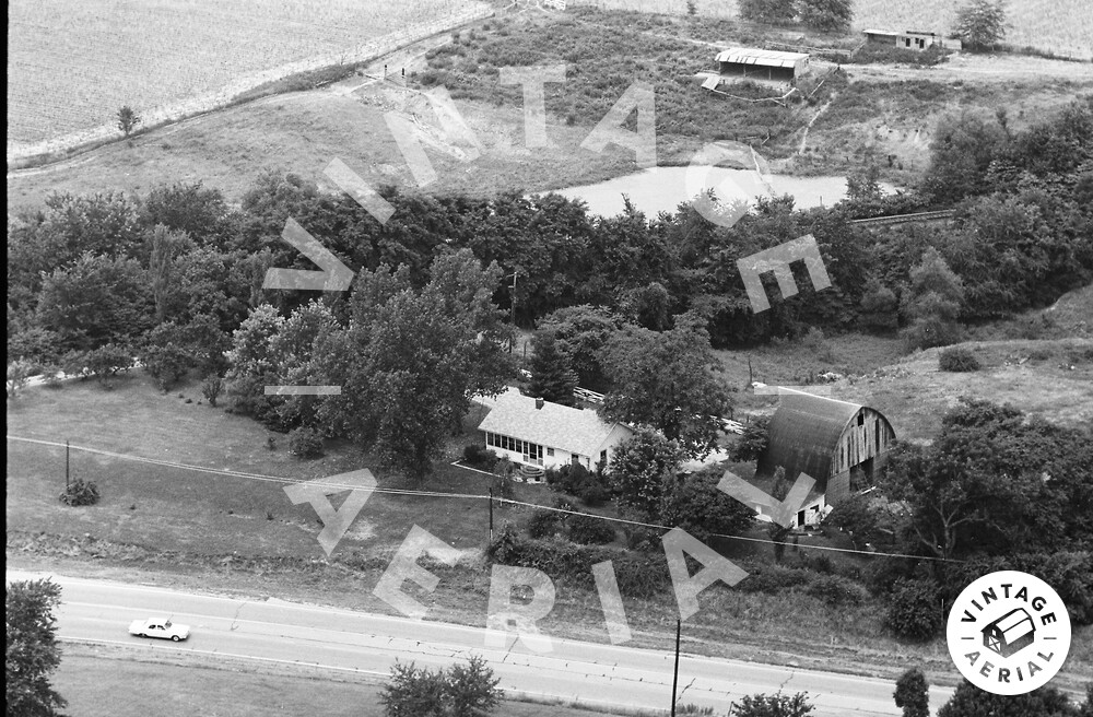
Same farmstead as featured in photo #24. At the time of this photo, the highway in the foreground had recently become State Highway 157. Prior to that, it was designated Bypass US 66. Nothing remains of the farmstead at center. The Chicago and Northwestern RR tracks are just barely seen through a break in the trees at upper right. The tracks were later abandoned and turned into the Quercus Grove Trail. View looks NNW.