

We’re excited to announce another 92,000 images available for browsing on the West Coast!
The vast majority of these photographs are being released without approximate locations because the original flight path maps have been missing for decades. This means that in order to geolocate these images so that we can allow visitors to search by address or keyword, we need the help of people in these areas to help us identify photographs!
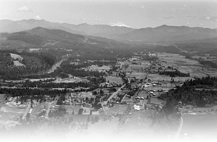
Here’s a look at what happens when photos are geolocated. Even in areas missing map data, we can recreate flight path maps when visitors pin locations. Once enough photos have been identified, we can enable visitors to search these areas by address and keyword!

Our hope is to crowdsource the identification of these photos, which means we need help spreading the word that they exist. If you, or anyone you know has a connection to any of these rural areas, let them know they can begin browsing through our collection from the 1960s.
California
Oregon
| Baker County |
| Clackamas County |
| Lane County |
| Lincoln County |
| Marion County |
| Polk County |
| Washington County |
| Yamhill County |
Washington
| Clark County |
| Lewis County |
| San Juan County |
| Skagit County |
| Thurston County |
| Whatcom County |