Posted on
04/15/2024
by
Nathan Lewis
in
New Content Releases
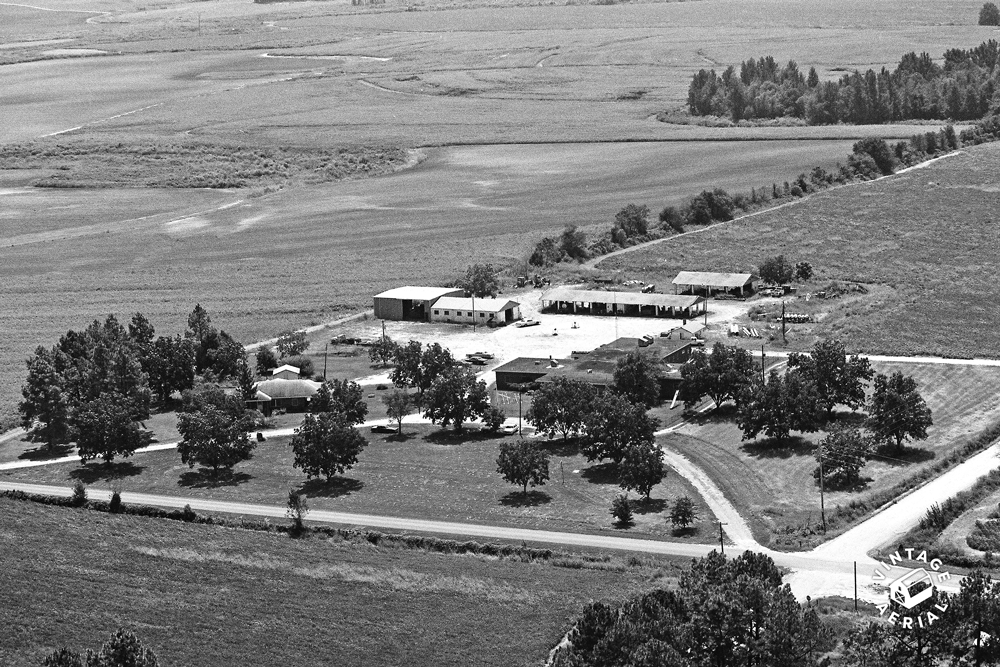
We are excited to announce the availability of an additional 164,822 photos in Georgia from our Champion collection that have been scanned and are now being made available online for the first time. This adds to our existing collection of 588,434 photos for a grand total of 753,256 in The Peach State.
This addition adds 4 new counties to our collection in Georgia, which now covers 153 of 159 counties!
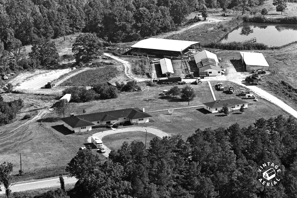
Coweta County 1983
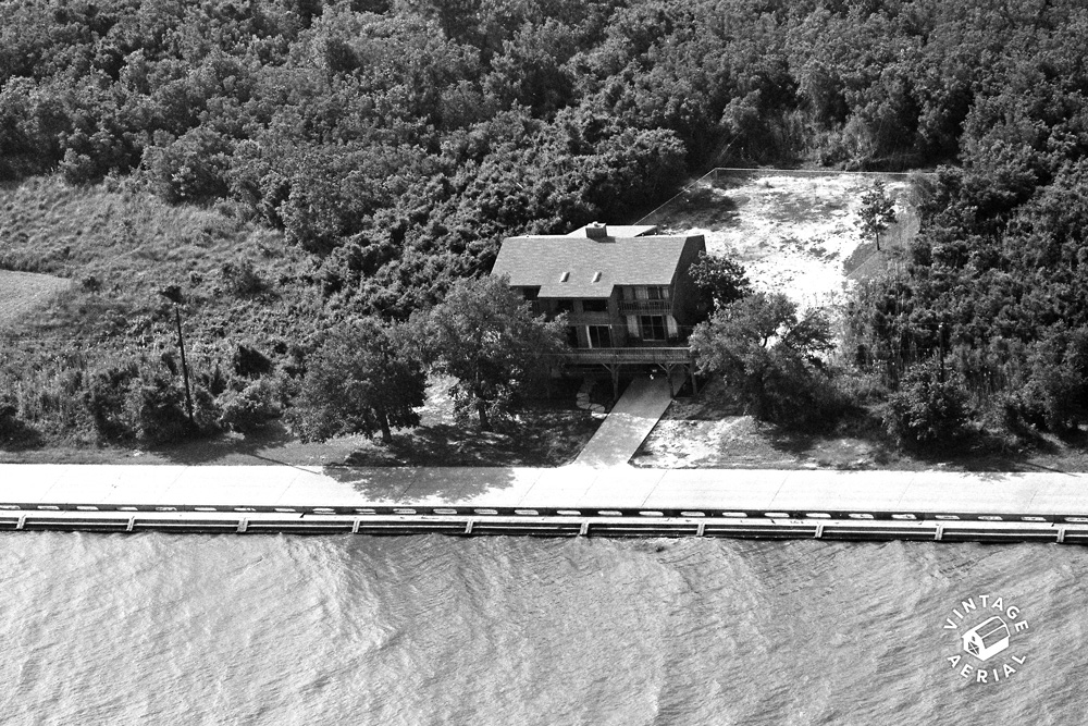
Dooly County 1982
We are glad to share these new photos with you. Please join us in bringing them to life. You can search by address or map location as normal, and any new film in the area will appear with NEWLY ADDED on the roll.
Posted on
02/01/2024
by
Kevin Marsh
in
New Content Releases
We are excited to announce the availability of an additional 190,662 photos in Mississippi from our Champion collection have been scanned and are now being made available online for the first time. This adds to our existing collection of 61,718 photos for a grand total of 252,380 in The Magnolia State.
This addition adds 49 new counties to our collection in Mississippi which now covers 78 of 82 counties!
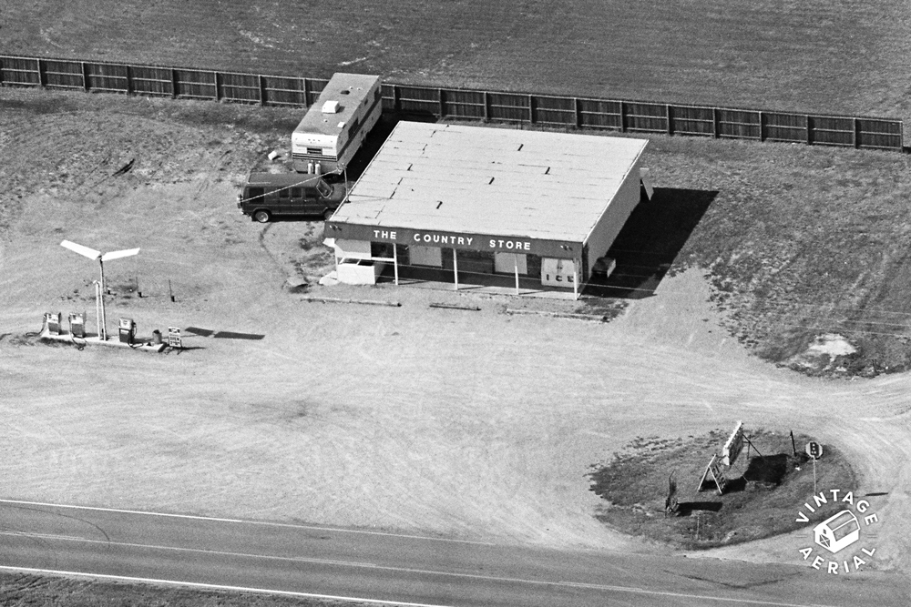
Benton County 1988
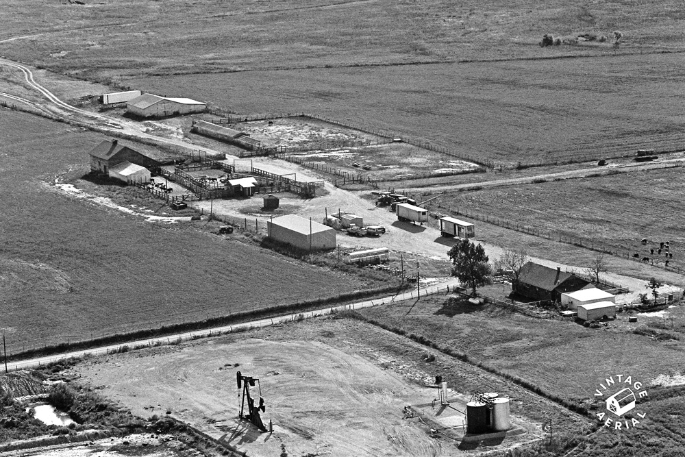
Hancock County 1986
We are glad to share these new photos with you. Please join us in bringing them to life. You can search by address or map location as normal, and any new film in the area will appear with NEWLY ADDED on the roll.
Posted on
09/01/2023
by
Nathan Lewis
in
New Content Releases
We are excited to announce an additional 225,497 new photos in Oklahoma from our Champion collection have been scanned and are now being made available online for the first time. This adds to our existing collection of over 91K photos for a grand total of 317,227 in the Sooner State.
More importantly, this addition allows us to open an additional 25 counties that were previously not covered:
Jackson County Pre 1986
Jackson County Pre 1986
We are glad to share these new photos with you. Please join us in bringing them to life. You can search by address or map location as normal, and any new film in the area will appear with NEWLY ADDED on the roll.
Posted on
05/24/2023
by
Kevin Marsh
in
Site Improvements
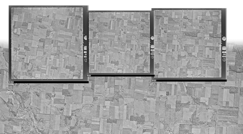
We’re excited to announce the integration of high altitude aerial photos into our collection at Vintage Aerial! These historic vertical photos come from a variety of sources, mostly government organizations, and serve as the perfect historical complement to our collection of oblique, low altitude views. These newly added photos, some from as early as the 1930s, offer a stunning view into how vast areas of America’s landscapes have changed in the century since.
Since learning of the availability of these photographs, the small team at Vintage Aerial has been developing software and processes to gather, organize, precisely geolocate, mosaic, and present these vertical views. Unlike our own collection, which we’ve scanned from the original film archives we’ve acquired, these newly added images have already been scanned in extremely high resolution. And they have been available in various places for some time. But until now, they have been difficult to find, navigate, and make sense of. The work our Vintage Aerial team has done on these images, including geolocation and mosaicking, allows us to layer these images on top of contemporary maps and imagery, and allows our users to browse them in a familiar online map interface.
Today we’re releasing the first batch of our work. This release includes over 322,000 square miles of imagery covering Ohio and Pennsylvania, the two states in which we have the largest number of photos in our own historic collection. The imagery spans the 1940s to 2000s. In the coming months we’ll process and release additional states, years, and imagery sources to augment our own collection of oblique aerial photos.
(sq. mi. of imagery)
1940s
1950s
1960s
1970s
1980s
1990s
2000s
2010s
2020s
Grand Total
Ohio
332
26,158
27,449
65,299
666
0
0
22,302
7,526
149,732
Pennsylvania
4,363
25,220
52,556
73,936
8,627
1,053
6,701
13
0
172,469
Total
4,695
51,378
80,005
139,235
9,293
1,053
6,701
22,315
7,526
322,301
We’ve also incorporated National Agriculture Imagery Program (NAIP) imagery into our county and photo-page maps for several years, which makes viewing changes over the years even more striking.
We’re thrilled to present these newly added images to you in this unique way. We believe this additional content will make it easier to find, locate, and enjoy photos in our collection that until now have not been geolocated. And we believe that these images are an interesting resource of its own, a fascinating perspective on the ever-changing American landscape.
Posted on
05/17/2023
by
Nathan Lewis
in
New Content Releases
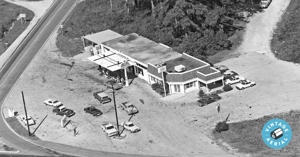
We are excited to be releasing over 250 thousand new photos from Alabama. This brings the total number of photos for this state to 574,400. Over the past 60 years, Alabama has undergone tremendous change, from the Civil Rights movement of the 1960s to the economic and social challenges rural communities face today. Yet despite all these changes, one thing has remained constant: the resilience and perseverance of the people who call Alabama home.
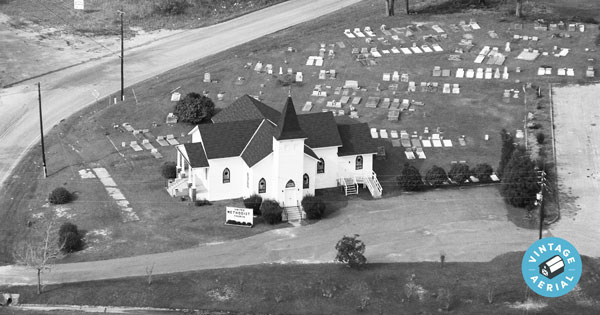
“Calvert Methodist Church. At the time of this photo, it was called United Methodist Church.”"Hollis Crossroads"
We are glad to share these new photos with you. Please join us in bringing them to life. You can search by address or map location as normal, and any new film in the area will appear with NEWLY ADDED on the roll.


 Coweta County 1983
 Dooly County 1982