

Connecticut
We have 60,782
aerial photos available in Connecticut.
Select a county from the list or map to start searching:
State Leaderboard
-
16,651 total points10,228
-
56,666 total points3,528
-
19,473 total points492
Help us preserve the heritage of rural America and earn rewards by commenting and geotagging photos. Create a free Vintage Aerial account now!
Most Viewed Photos
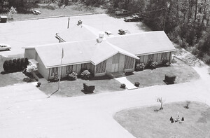
14-PNL-34
1987
194

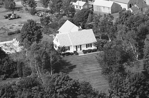
14-PNL-32
1987
109
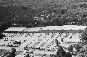
125-GNE-16
1985
124
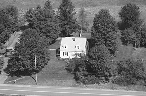
73-GHA-11
1985
79
125-GNE-4
1985
146
125-GNE-3
1985
109

107-VTO-20
1986
98

237-GHA-30
1985
85

Latest Comments