

Join Our Community
33,448 members are helping us to bring our collection to life.
Create a free Vintage Aerial account now to start commenting on photos, pinning locations, and earning points redeemable for our products!
Sign up now and receive a coupon for 10% off your first order!
Comments
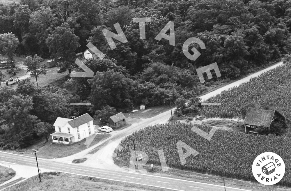
The pin on the map is the location where the Mail Pouch barn was located. The barn was clearly visible on Historic Aerials' imagery (1965). The distance measurement tool was used to obtain the decimal coordinates of the barn and the coordinates were input to the Google map program. The barn is ID'd as MPB 14-23-05 on the Mail Pouch Barnstormer's website.
https://vintageaerial.com/photos/indi...