

Join Our Community
33,596 members are helping us to bring our collection to life.
Create a free Vintage Aerial account now to start commenting on photos, pinning locations, and earning points redeemable for our products!
Sign up now and receive a coupon for 10% off your first order!
Comments
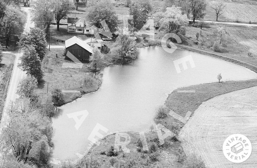
This is another instance where the flight map is way off. This is looking south toward the crossroads at Alvarado in southeastern Steuben County. The road along the left edge of the photo is Steuben County Road 800 E; the road running along the top of the photo is County Road 500 S.