

Join Our Community
33,546 members are helping us to bring our collection to life.
Create a free Vintage Aerial account now to start commenting on photos, pinning locations, and earning points redeemable for our products!
Sign up now and receive a coupon for 10% off your first order!
Comments
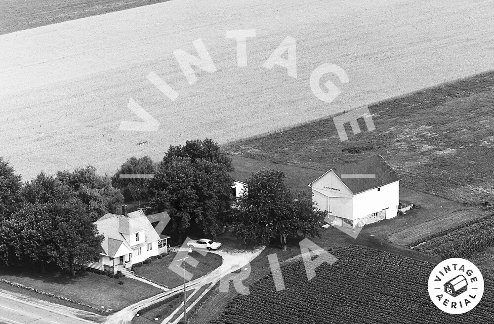
The pin on the map is centered on the house in the photo above. The farm site has changed since 1970; however, the site location is verified using Ohio Dept. of Transportation aerial photo archives photo ODOT # 93-34-60, dated Apr. 14, 1971 which clearly shows the farm and buildings in the arangement in the photo above.