

Join Our Community
33,459 members are helping us to bring our collection to life.
Create a free Vintage Aerial account now to start commenting on photos, pinning locations, and earning points redeemable for our products!
Sign up now and receive a coupon for 10% off your first order!
Comments
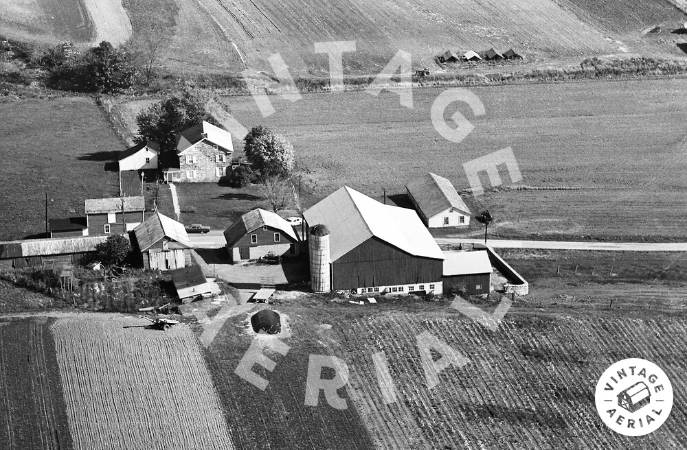
The red pin on the map is centered on the farm in the photo above. In the photo above Smith Rd. runs left to right between the barn and the house.