

Join Our Community
33,442 members are helping us to bring our collection to life.
Create a free Vintage Aerial account now to start commenting on photos, pinning locations, and earning points redeemable for our products!
Sign up now and receive a coupon for 10% off your first order!
Comments
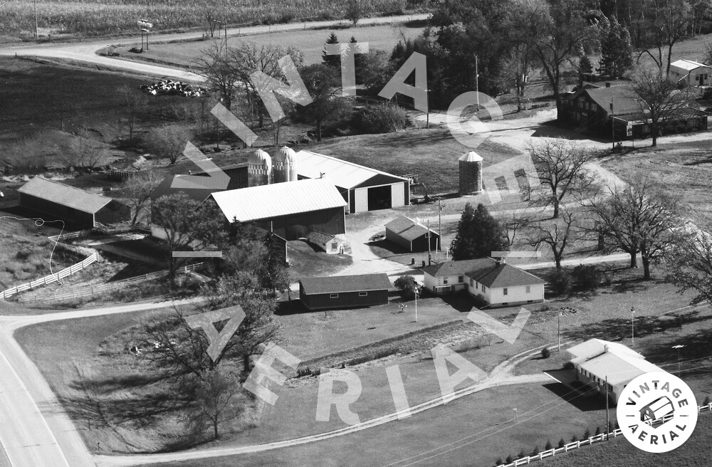
This is looking south east above Hwy 10 looking at Lind Center Road at the top of frame, and Holiday Road running from top of frame to right center of frame. This is the farm and houses on 10 in front of the Holiday Inn supper club. Holiday road used to connect with 10, about where the airplane would be flying here. now it is a dead end for the farmer's use only.
* amend my 1st comment to be: the intersection of Holiday road and Holiday Inn road per the google map.