Photos
Products
Stories
Blog
About Us
Help
Sign Up
/
Sign In
Home
About Us
Photos
Products
Help
Blog
Stories
Ornery
1,406 lifetime points
Joined 2022
0
albums
142
Comments
0
Likes
174
Geotags
Recent Activity
1979
Barry County, MO
Commented & Pinned
Same farm shown in background of 3-EBA-27. State Hwy BB, camera is facing SSE.
1979
Barry County, MO
Commented & Pinned
Camera is facing South. State Hwy BB in center of photo between farms.
1979
Barry County, MO
Commented & Pinned
State Hwy BB, camera is facing South.
1979
Barry County, MO
Commented & Pinned
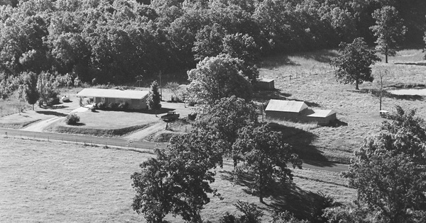
Farm at the south end of FS 1118, south of State Hwy BB, camera is facing SW.
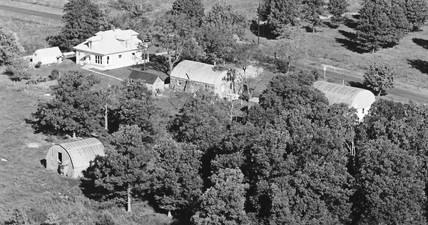
1979
Barry County, MO
Commented & Pinned
House and small building behind it (left of house in above photo, along farm road 1118) still standing. State Hwy BB is in front of house, camera is facing NW.
1979
Barry County, MO
Commented & Pinned
Map pin is best guess. Farm in photo is visible in Google Earth imagery from 1996 and 2003, but by 2008 these buildings are all gone. Camera is facing West, road is State Hwy BB.
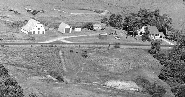
1979
Barry County, MO
Commented & Pinned
Many changes here since 1979. Pin on map is on barn, the only structure in the photo that is still standing. Camera is facing WSW, foreground road is State Hwy BB.
1979
Barry County, MO
Commented & Pinned
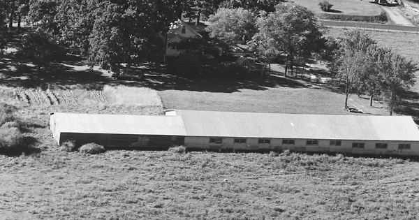
Camera is facing WSW, State Hwy BB just west of Dotson Ln
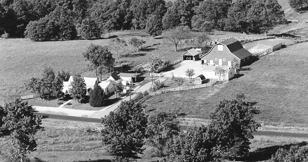
1979
Barry County, MO
Commented & Pinned
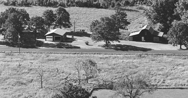
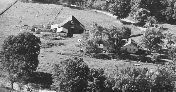
Farm on farm road 1135, camera is facing south. Large barn is gone, house has been enlarged but original features of roof (dormer and porch roof, west side) are still recognizable.
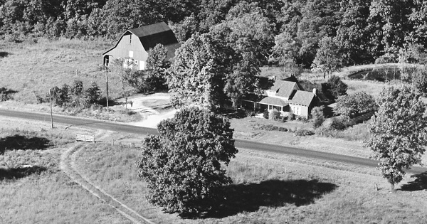
1979
Barry County, MO
Commented & Pinned
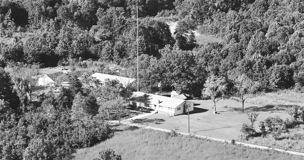
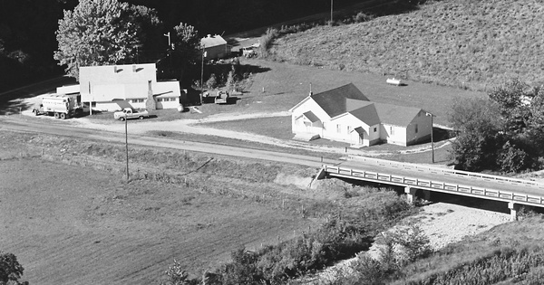
Easyville Church, camera is facing WSW, State Hwy BB in foreground (bridge at church is over Little Flat Creek), Farm Road 2060 in background.