📸
Flash Sale
15% Off Canvas Wraps Wednesday–Saturday Only!
Photos
Products
Stories
Blog
About Us
Help
Sign Up
/
Sign In
Home
About Us
Photos
Products
Help
Blog
Stories
StevenEKuhn
175 lifetime points
Joined 2021
0
albums
34
Comments
0
Likes
0
Geotags
Recent Activity
1965
DuPage County, IL
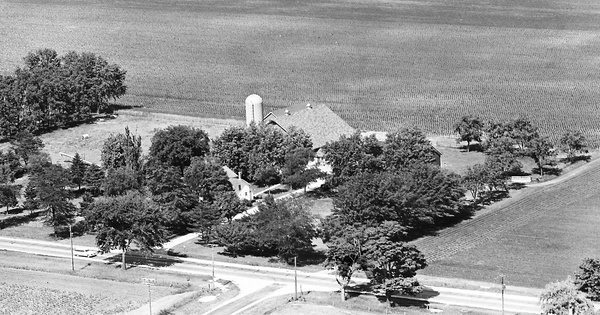
Commented
This would be looking east. Orchard Rd. is at the bottom of the photo.
1965
DuPage County, IL
Commented
It was known as Maple Lane Farm.
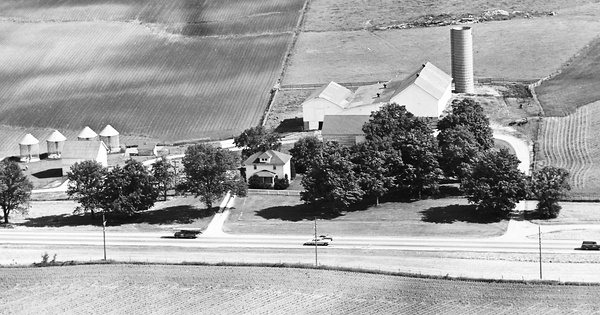
1968
Stephenson County, IL
Commented
Another view of the Pat and Sharyn Kuhn Farm. See also; 13-IST-21 and 13-IST-24
1968
Stephenson County, IL
Commented
Since 1979 home to Pat and Sharyn Kuhn. Lots of good memories there with my Dad and brothers Dan and Pat, and Sharyn, kids too. See also photos; 13-IST-23 and 13-IST-24
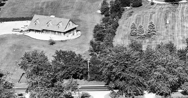
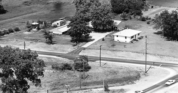
1965
DuPage County, IL
Commented
In the upper left hand corner of the photo is the end of a group of trees. In there the owner had a shooting range and it was there into the 80's.
1965
DuPage County, IL
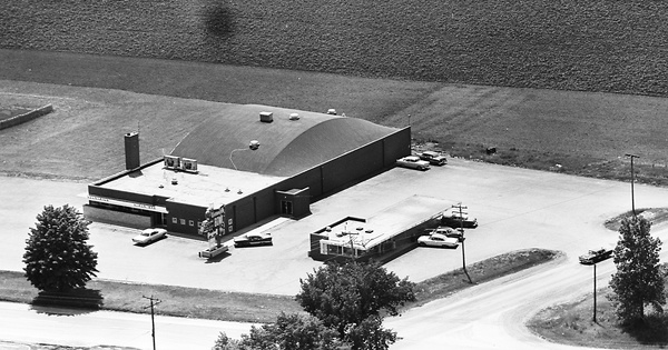
Commented
Yes it is the Warrenville Bowl. So the drive in was known as the Bowl Burger?! Mom and I would stop there and eat. I'd like to know when the Bowl was built.
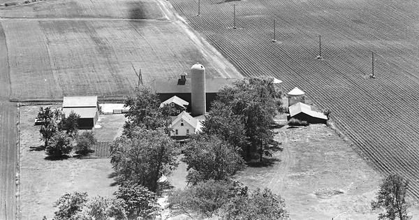
1965
DuPage County, IL
Commented
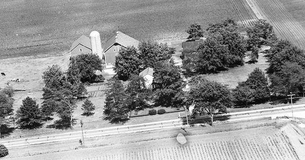
Another view of my Uncle Edward and Aunt Annabelle Kuhn farm. Looking east. Liberty St. T'ing into 59 at the bottom of the photo. Today it continues straight east from that point.
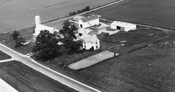
1965
DuPage County, IL
Commented
Wrong. This is the southeast corner of Butterfield and Naperville Rd. If you check the map to the right it shows the location. North is always the top of the map. If you want to see the farm that was on the southwest corner go to photo 19-BDU-35.
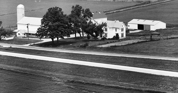
1965
DuPage County, IL
Commented
This is my Aunt and Uncles farm, Edward and Annabelle Kuhn. In 1965 they were still living there when this photo was taken. Liberty St. now is where the dirt lane is on the right side of the photo. Liberty St. from the west and T'd into Rt. 59. You can just see the corner of it on the right lower corner of the photo. This view is looking east.