

Oregon
We have 18,392
aerial photos available in Oregon.
Select a county from the list or map to start searching:
State Leaderboard
-
264,435 total points10,505
-
7,621 total points1,289
-
618 total points618
Help us preserve the heritage of rural America and earn rewards by commenting and geotagging photos. Create a free Vintage Aerial account now!
Most Viewed Photos

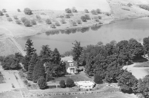
9-CLA-23
1963
367

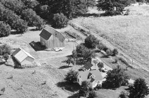
27-ACL-20
1968
308
19-XWA-1
1969
268

9-AMA-37
1968
202
2-XWA-30
1969
198

27-ACL-19
1968
146

27-ACL-21
1968
138

1-ACL-1
1968
125

Latest Comments