

bridge
We found 3,107 results for your search in 0.40 seconds:

69-HFR-4
1982
31
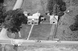
Farm along Fort McCord Road between Miller place and bridge near Burkett Road

45-IFR-20
1970
32
containing the remains of the barn bridge is owned by D Jeter solutions and is agricultural

39-CRA-7
1964
215
bridge. our farm was/is across the bridge and south side of bridge now a road

29-LCL-18
1973
41
gone now and a concrete bridge there now.
Lee Swope residence 15401 E Harley Road

49-NGE-32
1988
421
bridge has moved now & it's not an iron grate bridge anymore. At one time

94-TGR-8
1984
81
Bowers Bus Co Kirby
I worked on the rail road and that bridge.

118-TGR-33
1984
33
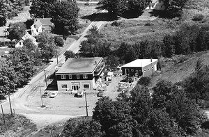
bridge ,only left side of building is standing now, building was severely damaged by fire
75-TGR-28
1984
69
bridge. Part of that had collapsed not long before this photo was taken. I remember

48-TGR-32
1984
79
bridge to the right is where my sister wrecked the car in front of the house

13-RGR-12
1973
45
This is my grandparents house,lol..
Covered bridge Lippincott.

4-FGR-13
1975
78
bridge at the bottom. The former Ackley Covered Bridge once sat in the lower right

29-QGR-12
1995
25
New Geneva Railroad Bridge

115-NGR-34
1988
67
when the road was realigned to straighten out and widen the bridge for easier truck travel.

9-ERA-27
1979
19
Highway 10. It is located south of the highway just before the bridge over Crooked River.
60-FYO-12
1967
312
buxton is on the other end of the bridge
the house facing the road was Ted Plummers

83B-LYO-1
1963
96
bridge. A sawdust pile is in the upper right. The barn, house and sawdust pile

65-FYO-26
1967
117
Odd Fellows Hall, Hollis by West buxton bridge
66-FYO-17
1967
126
Rte 35 and High Street, Hollis side of West Buxton Bridge
The old Getchell house
94-DYO-3
1969
97
center was the movie house
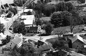
Entering Dock Square Kennebunkport from Kennebunk over bridge on right.

57-FYO-35
1967
196
northwest on Depot St. The road at lower left is coming off the Bar Mill bridge.
58-FYO-26
1967
252
bridges. Straight back behind the store, down depot street hit rt112. The store is now an apartment
74-LYO-30
1963
366
Bridge. The old Maine DOT weigh station is just to the right of this shot

78-LYO-20
1963
65
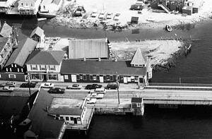
This is now Wiggley Bridge Distilleryon Rte 1.
84-LYO-30
1963
44
This looks like the intersections at Messenger's Bridge. 43.318795, -70.865193.