

gone
We found 39,067 results for your search in 3.34 seconds:
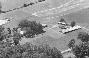
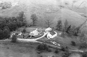
62-WOB-15
Pre-1986
12
Barns are gone. house is still there. Cherry's own and farm this land today.
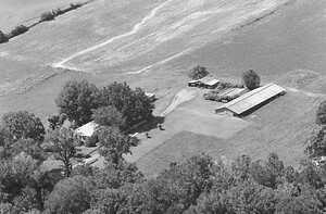
62-WOB-17
Pre-1986
11
Barns are gone. house is still there. Cherry's own and farm this land today.

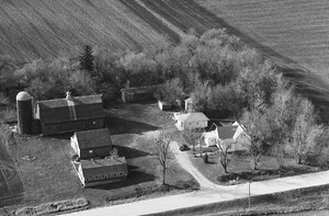
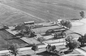
37-WFR-26
1988
17
Franklin Ave. The small sheds are gone.

37-WFR-28
1988
19
house and all but 3 of the outbuildings are gone. 95th St. Yarrow Ave. in the upper left.

37-WFR-29
1988
18
house and all but 3 of the outbuildings are gone. 95th St. Same farm in photo 28 looking north.

37-WFR-30
1988
17
This house is gone. Corner of Wren Ave. & 95th St.

37-WFR-34
1988
27
longer in the family.
The barn and 3 buildings in front of it are gone. 100th St.
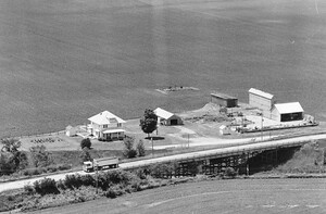
39-WFR-28
1988
15
This farm is gone.
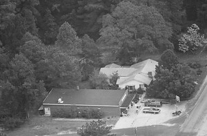
27-CCB-15
Pre-1986
6
Clarendon, NC. House is gone. The gas station building is still standing.

37-WFR-32
1988
23
right has been replaced by a machine shed. The other outbuildings are gone. Wren Ave.

3-ECL-35
1968
115
gone and property is now a self-storage business.
I believe this is at the exit

24-FBE-27
1974
255
gone but the "barn like" structure is still there I think. Likely private property! It was definitely
37-DAT-9
1963
688
gone and the Brunton house was torn down by the church to make a parking

59-LFR-16
1967
100
gone. The house coordinates were (39.41543, -77.44702). 1100 block of the Baltimore National Pike. The lane

59-LFR-34
1967
72
gone, and a house has been built back there on what is now Stoney Creek

59-LFR-33
1967
76
gone, and a house has been built back there on what is now Stoney Creek

7-IKA-37
1964
101
House and barn are gone, silo remains.
21-XKN-34
1978
11
diamond for the old high school is seen along the right edge. Today, this house is gone.

59-LFR-8
1967
85
Frederick. Big barn is gone, replaced by one just left of where this one is.
47-XKN-29
1978
9
gone. Illinois 41 crosses over the Burlington Northern Railroad at this point. That is the original

59-LFR-2
1967
99
Farm is gone. Houses coordinates were (39.38571, -77.48542). The property now is Frederick Baptist Church.

58-LFR-34
1967
72
gone. Maitland Terrace goes up through the left side of this photo. House coordinates were

58-LFR-17
1967
94
house on this property now, everything else is gone. Old house coordinates were (39.38021, -77.51202).

60-BIR-3
1965
33
This farmstead lasted into the late-1990s, but was gone by 2005.