

bridge
We found 3,107 results for your search in 0.31 seconds:
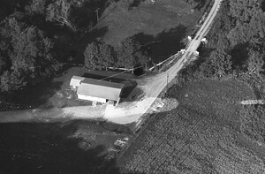
35-KNH-10
1965
31
Township. The bridge leads across the Catasauqua Creek to Tanglewood Road off camera at top.
33-KNH-18
1965
34
bridge over the Hokendauqua Creek at Indian Trail Road in Allen Township. It is no longer

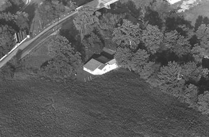
126-KTW-8
1984
130
first home together in Bucks Bridge. That barn leaned many years before it finally collapsed.

126-KTW-9
1984
125
Kingston Family Farm
Now part of Maple View Dairy
Bucks Bridge, NY

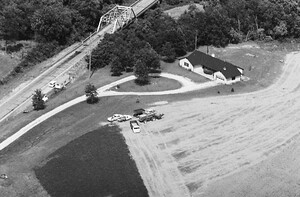
45-DCU-13
1975
16
This is looking east down old rt 40 st the covered bridge

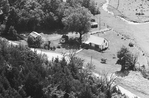
45-DCU-15
1975
14
house is just west of the covered bridge on the north side of the road.
99-NMAC-31
1981
33
Looking east, at top the old Rt 108 steel girder bridge over Macoupin Creek

8-KMA-15
1989
21
Bridges Service Station, 19 Morean Street, Nilwood, Illinois. View looks S/SW.

28-NMAC-5
1981
38
Piasa Illinois, Old store and the concrete Piasa Fish Fry bridge crossing Piasa creek.

61-OMAC-3
1990
19
house is located at 30566 Terry Park Road, Palmyra, Illinois. Bridge is the pinned location.

11-SMA-34
1984
17
Bridges Service Station, 19 Morean Street, Nilwood, Illinois. View looks S/SE.

87-GTO-19
1985
8
Bridges Road Somers, Ct built by Edward J Gajcowski in 1954 and the land was part
31-LJO-19
1973
45
Larry Cook old house on Stagecoach near Burton's Bridge ?

50-JMAC-30
1971
37
City Blacktop) Just south of the bridge Long Creek - Whistleville area. This place is gone.

55-JMAC-12
1971
29
Bridge Road and Ocean Trail Road. That house is not there anymore and I think
62-JMAC-19
1971
18
4855 Reas Bridge Road Decatur Illinois

21-JMAC-28
1971
16
Bridge Road (foreground); Christian Church (foreground), Jordan's (Oldinski's) Nursery & Greenhouse (background). looking east
21-JMAC-31
1971
15
St. Louis Bridge Road - extended (lower left foreground); Paul Hawbaker (acreage/residence); looking northerly.

21-JMAC-33
1971
12
St. Louis Bridge Road - extended (out of view right view); Hamilton (farm/residence); looking north westerly.
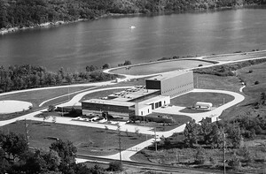
19-MMN-25
1980
15
5655 Reas Bridge Road ADM North Water Treatment Plant. Looking South.
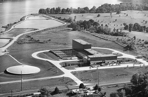
19-MMN-26
1980
18
5655 Reas Bridge Road ADM North Water Treatment Plant. Looking South West.
28-MMN-22
1980
12
Bridge Road can be see going south towards Route 36 in the left background. Looking

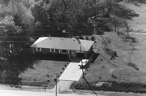
43-AMA-30
1967
11
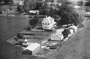
Road (foreground) - Twin Bridges (not visible in upper left background); Herb Kissel farmstead; looking northwest.

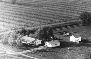
44-AMA-8
1967
63
Twin Bridges Road (foreground); Hardy farmstead; looking northeast.