

Washington
We have 28,590
aerial photos available in Washington.
Select a county from the list or map to start searching:
State Leaderboard
-
2,640 total points2,635
-
1,080 total points1,080
-
716 total points716
Help us preserve the heritage of rural America and earn rewards by commenting and geotagging photos. Create a free Vintage Aerial account now!
Most Viewed Photos
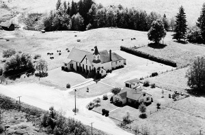
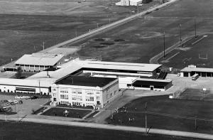
10-ZWH-18
1968
659
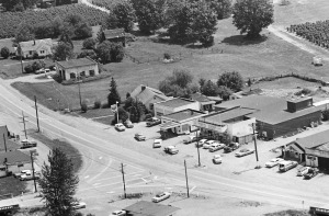
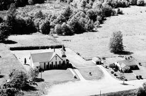
126-ZWH-4
1968
553
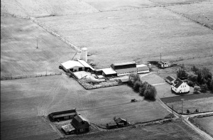
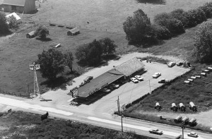
1-ZWH-1
1968
424
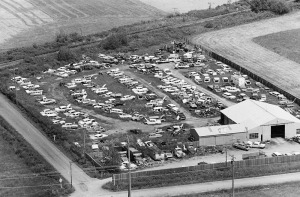
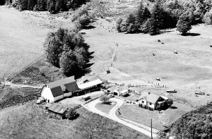
126-ZWH-3
1968
396
36-ZWH-3
1968
360
10-ZWH-19
1968
344
92-ZWH-2
1968
330
10-ZWH-20
1968
320

Latest Comments