Join Our Community
33,459 members are helping us to bring our collection to life.
Create a free Vintage Aerial account now to start commenting on photos, pinning locations, and earning points redeemable for our products!
Sign up now and receive a coupon for 10% off your first order!


Comments
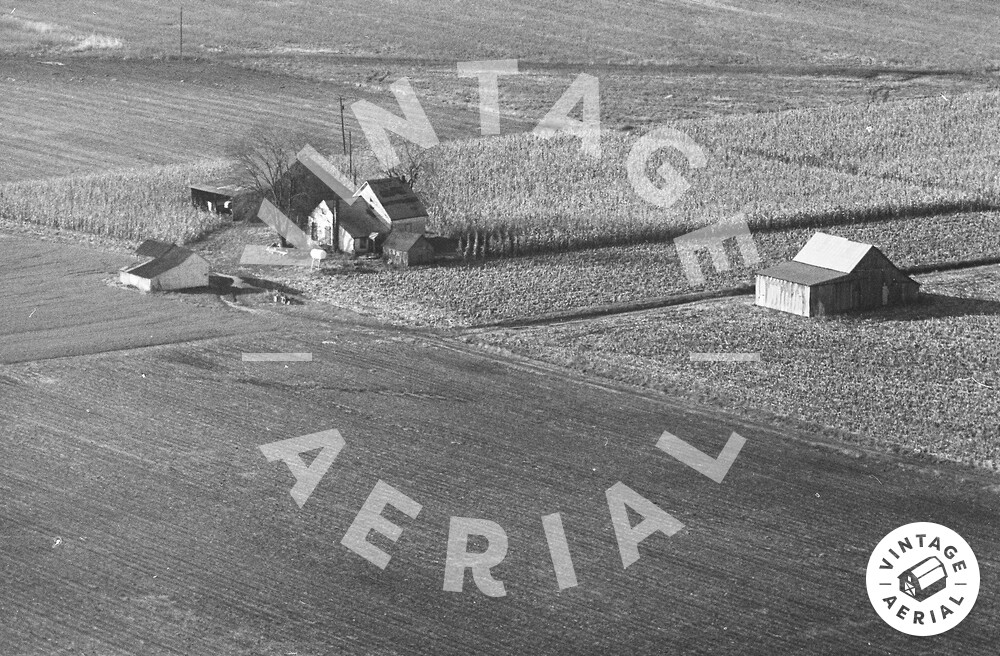
The view is looking SW. Farmstead shows up on a 1957 & 1979 topo map. Building layout in photo closely matches the layout on the maps. Linear feature in the background appears to be a drainage ditch draining to the SE. Power poles in photo appear to be coming from an adjacent farm to the SW of the one in this photo. No trace of this farmstead remains today. At the time of this photo, it looks as if the place was unoccupied.
Looking at 1938 and 1955 aerial photos, it appears that this farm was abandoned around WWII and demolished in the mid-1980s. The 1955 photo seems to show that the buildings were surrounded by brush. The 1988 photo shows virtually no trace of this farm.
If you toggle between the 1938 and 2019 photos (zoomed out over nearby New Memphis Station), you can clearly see the difference between family farming and today's farming.