

Illinois
We have 977,920
aerial photos available in Illinois.
Select a county from the list or map to start searching:
State Leaderboard
-
210,462 total points202,696
-
173,122 total points161,548
-
27,674 total points27,674
Help us preserve the heritage of rural America and earn rewards by commenting and geotagging photos. Create a free Vintage Aerial account now!
Most Viewed Photos
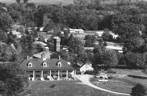
12-DCL-24
1975
4K
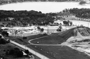
19-LLA-7
1973
2K

45-BHE-35
1976
2K

17-ICL-14
1968
2K

9-ZWL-9
1982
2K

60-IGR-6
1968
2K

1-IDE-14
1964
2K

17-ICL-12
1968
1K

Latest Comments