

Join Our Community
33,520 members are helping us to bring our collection to life.
Create a free Vintage Aerial account now to start commenting on photos, pinning locations, and earning points redeemable for our products!
Sign up now and receive a coupon for 10% off your first order!
Comments
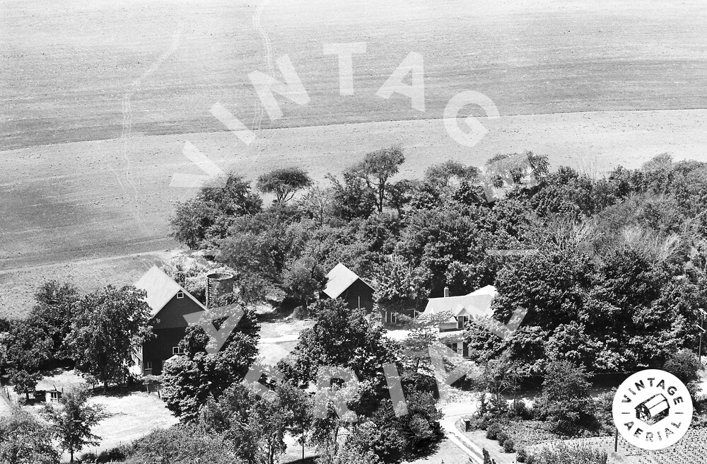
As with all the farms in this area, residential development took this one in the 1970s. The house is still visible in 1974 aerial images, but the land around it was already excavated for future construction. Aerial images from 1961 and 1962 show large areas of standing water to the left of the barn, where Dunham Place Park is located today, so the ponds at the park were probably not difficult to establish.