

Join Our Community
33,560 members are helping us to bring our collection to life.
Create a free Vintage Aerial account now to start commenting on photos, pinning locations, and earning points redeemable for our products!
Sign up now and receive a coupon for 10% off your first order!
Comments
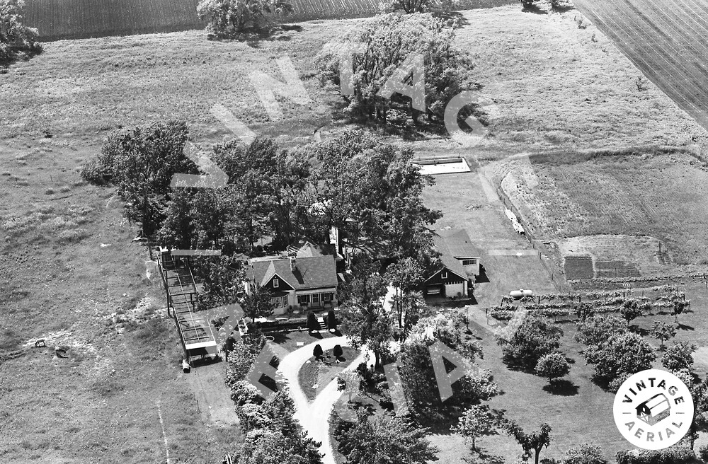
From the placement of the telephone pole, the top of which is visible on the lower right, bottom edge of the photo just to the left of the trees, puts this house on the west side of Deerpath Rd. Judging from the flight path and surrounding confirmed slides, it appears the house was where the Ela Township Community Park parking lot is today.
This house is also on Roll 54,slide #17.