

Join Our Community
33,571 members are helping us to bring our collection to life.
Create a free Vintage Aerial account now to start commenting on photos, pinning locations, and earning points redeemable for our products!
Sign up now and receive a coupon for 10% off your first order!
Comments
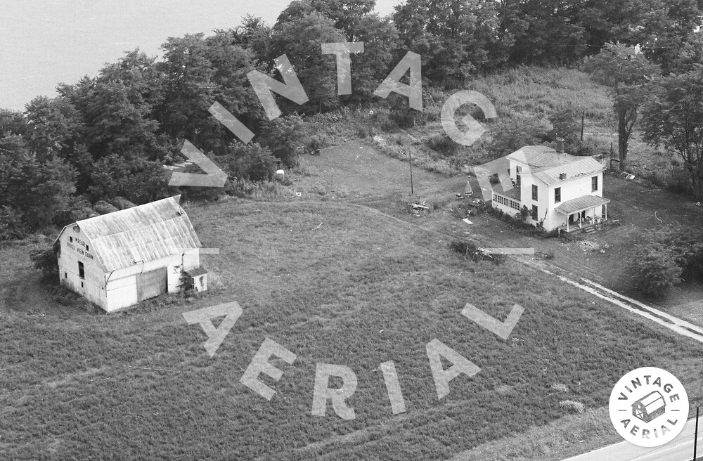
The red pin on the map is the approximate location of the house in the photo above. The barn to the left of the photo, at one time was a Mail Pouch barn, which had been painted over. The Mail Pouch barn is ID'd as MPB 14-22-02 on the Mail Pouch Barnstormer's website.
In this photo. Is water (River) behind this barn? Or is that a field? Much appreciated on the help
The tiny bit of road at the bottom right of the photo is River Rd. IN-111. The river is behind to the right out of view. Looking at the barn that is a field beyond at the upper left.
Great thanks Ted, sorry took so long to respond, just saw this
5858 Hwy 111. My father’s home at the time of the photo. I would use the ladder to climb onto the sunroom, then onto the roof to watch the model airplanes flying across the road. The house was built in 1812 and no longer looks like a historic home.