

Join Our Community
33,442 members are helping us to bring our collection to life.
Create a free Vintage Aerial account now to start commenting on photos, pinning locations, and earning points redeemable for our products!
Sign up now and receive a coupon for 10% off your first order!
Comments
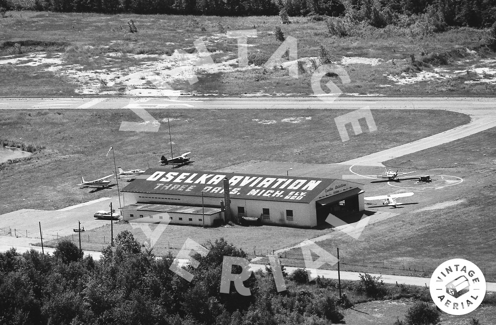
Oselka Airport was a general aviation facility established between 1963 and 1965. The airport had a 3000-foot east/west paved runway, elevation 660 feet. The airport is shown on the May 1965 Chicago aviation sectional map and the 1970 USGS topographical map of the area. The airport closed sometime before 1993 and the area is now a landfill.