

North Carolina
We have 1,292,511
aerial photos available in North Carolina.
Select a county from the list or map to start searching:
State Leaderboard
-
22,443 total points17,465
-
13,632 total points13,632
-
16,614 total points12,617
Help us preserve the heritage of rural America and earn rewards by commenting and geotagging photos. Create a free Vintage Aerial account now!
Most Viewed Photos
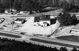
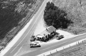
1-HWA-10
1965
3K
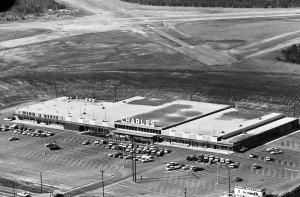
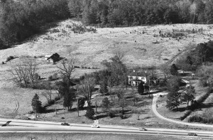
1-HWA-12
1965
2K
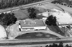
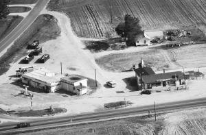
1-HWA-14
1965
1K
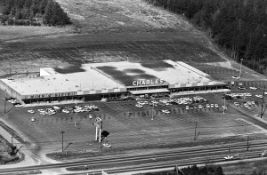
1-HWA-11
1965
1K
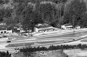
4-RAN-4
1984
1K
1-HWA-13
1965
1K
1-HWA-15
1965
1K
91-JJO-21
1986
1K

Latest Comments