

Join Our Community
33,663 members are helping us to bring our collection to life.
Create a free Vintage Aerial account now to start commenting on photos, pinning locations, and earning points redeemable for our products!
Sign up now and receive a coupon for 10% off your first order!
Comments
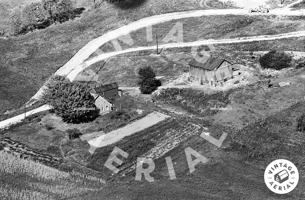
The pin on the map is the approximate location of the farm house in the photo above. The House, barn and road clearly shown on Ohio Dept of Transportation aerial photo ODOT # 3155-11-144, dated Sept. 9, 1965.