Join Our Community
37,971 members are helping us to bring our collection to life.
Create a free Vintage Aerial account now to start commenting on photos, pinning locations, and earning points redeemable for our products!
Sign up now and receive a coupon for 10% off your first order!


Comments
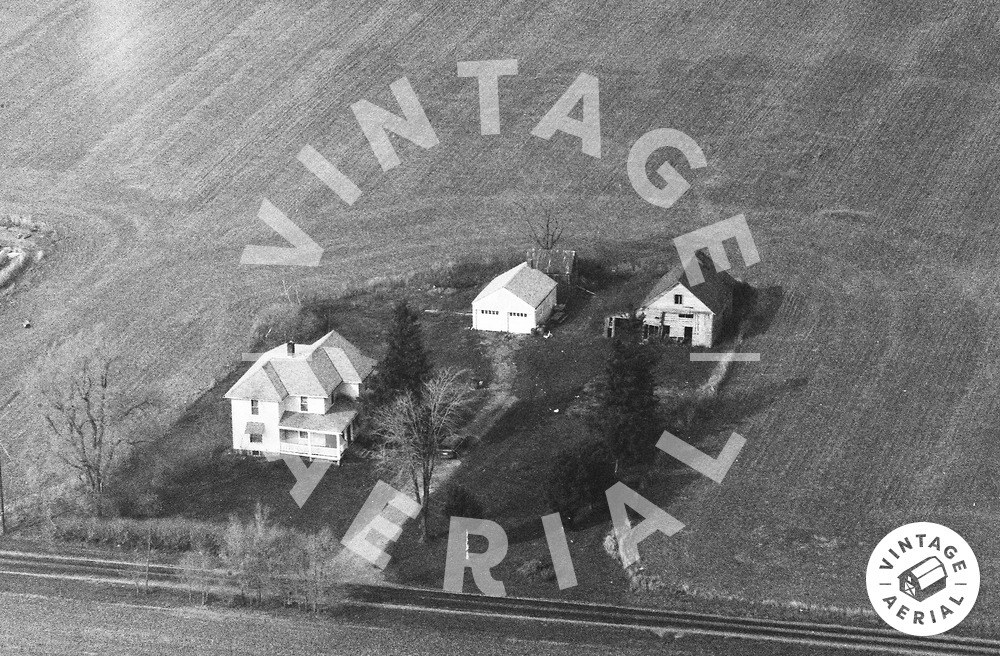
Coordinates 40.57228, -83.86335 - at 867 Township Rd 180, sometimes called Hemphill Road after a settler family, a branch of which acquired the tract from H. Patterson McClelland in 1901. The property was subdivided, and the section with the house was owned by Arthur Hemphill until 1933, when he apparently lost it to a bank or "insurance company"...
The house is reportedly haunted, ostensibly built on top of an abandoned cemetery. While the Hemphills who owned the property from are buried in Roundhead Cemetery, there is a broken-off headstone leaning against this house's porch, simply bearing the name Hemphill and a stylized H. Supposedly the stone's base is under the porch, and reports vary as to how many burials are on the property [ranging from two to 17].