

Join Our Community
33,551 members are helping us to bring our collection to life.
Create a free Vintage Aerial account now to start commenting on photos, pinning locations, and earning points redeemable for our products!
Sign up now and receive a coupon for 10% off your first order!
Comments
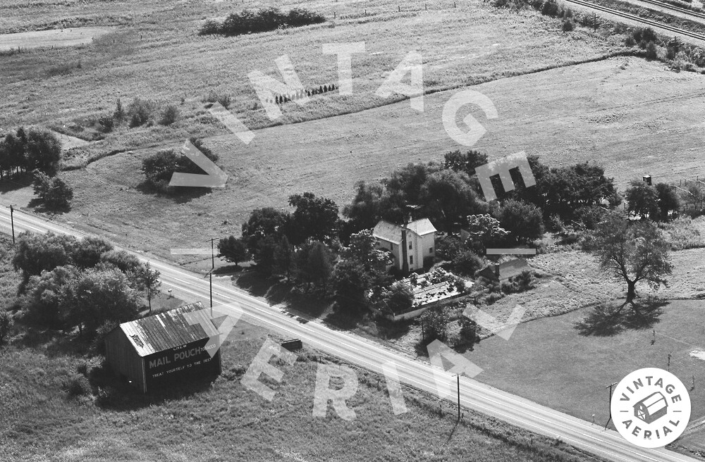
The pin on the map is centered on the white house toward the center of the photo above. The Mail Pouch barn across the highway from the house has been razed and removed. This barn is clearly shown on Ohio Dept. of Transportation aerial photo 1774-2-78, dated May 4, 1961. In addition, a March 1966 ODOT aerial photo shows that there was also a Mail Pouch sign on the end of the barn facing the highway. This Mail Pouch barn is Id'd as MPB 35-70-05 on the Mail Pouch Barnstormer's website.
4595 S.R. 309, Mansfield