

Join Our Community
33,560 members are helping us to bring our collection to life.
Create a free Vintage Aerial account now to start commenting on photos, pinning locations, and earning points redeemable for our products!
Sign up now and receive a coupon for 10% off your first order!
Comments
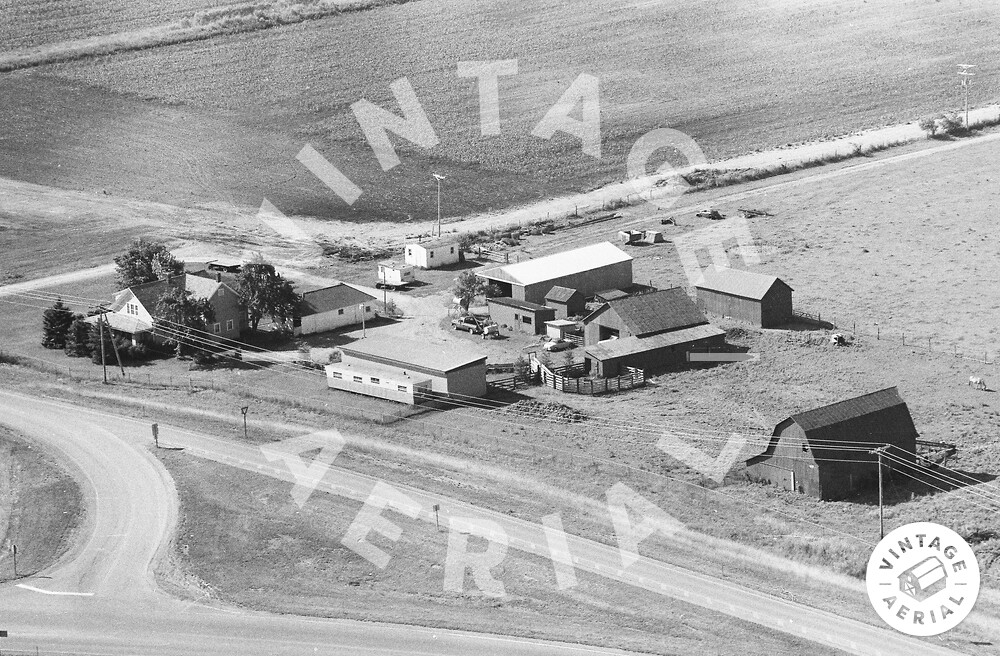
The farmstead at the western end of Pleasant Valley Road (11660), at the interchange with US 35 and the start of County Road 550. (The flight path for this roll is WAY out of scale or has an extra leg in it.). See also 1963 Photo 19-DRO-27.
Paul Brown Farm