

Join Our Community
33,571 members are helping us to bring our collection to life.
Create a free Vintage Aerial account now to start commenting on photos, pinning locations, and earning points redeemable for our products!
Sign up now and receive a coupon for 10% off your first order!
Comments
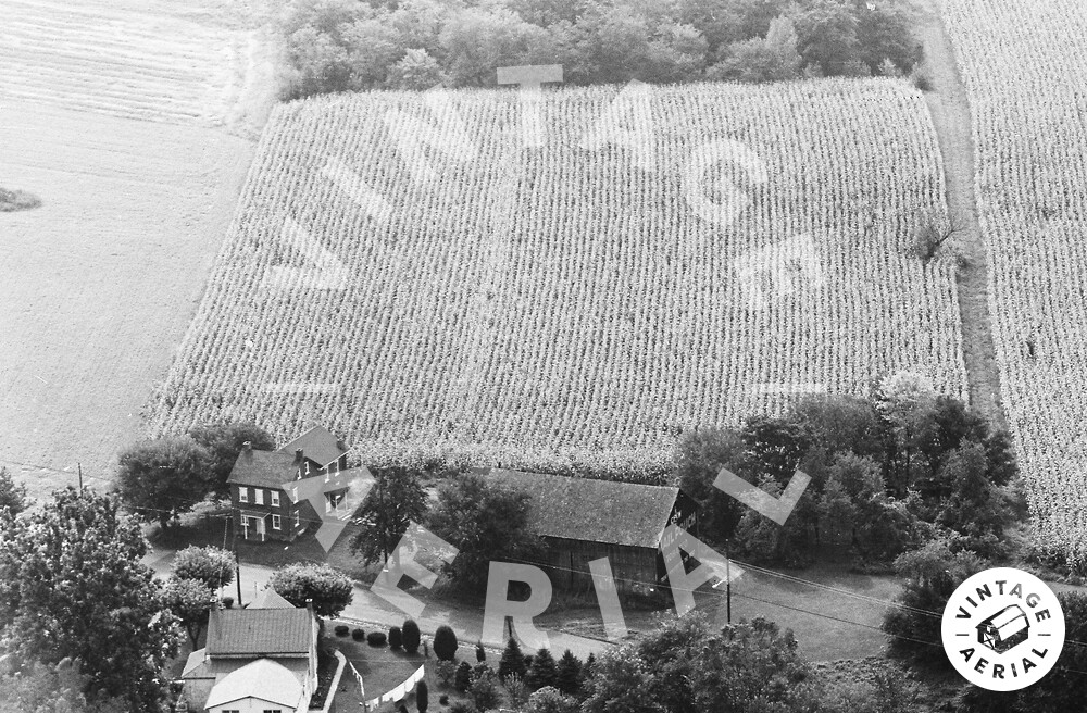
The red pin on the map is the approximate location of where the Mail Pouch barn in the photo above once stood. The barn and the house to the left of the barn are now gone. The house across the street sits at an angle to W. High St. and is existing today and can bee seen in the Google Earth view. The location was confirmed by viewing an aerial photo by Penn Pilot dated July 7, 1971. The Mail Pouch barn is ID'd as MPB 38-06-07 on the Mail Pouch Barnstormer's website.