

Join Our Community
33,656 members are helping us to bring our collection to life.
Create a free Vintage Aerial account now to start commenting on photos, pinning locations, and earning points redeemable for our products!
Sign up now and receive a coupon for 10% off your first order!
Comments
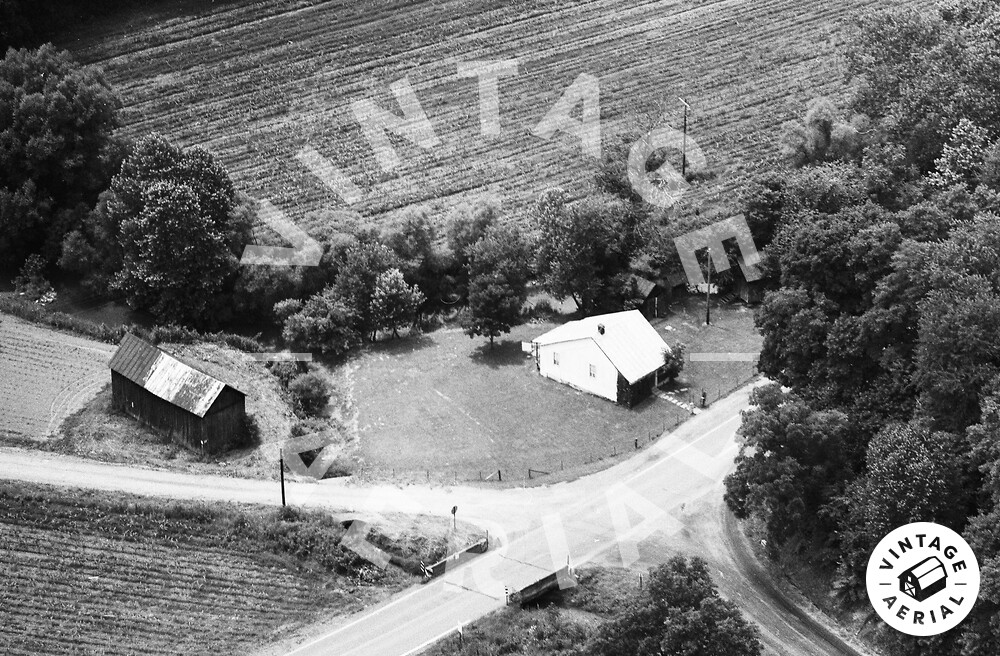
This appears to be the intersection of Scott Run (on the right) with PA-21 in the center. The Scott Covered Bridge is on the township road on the left. The house and barn are both gone. The Scott Cemetery (semi-abandoned) is on the bank to the right of the picture.