

Join Our Community
33,442 members are helping us to bring our collection to life.
Create a free Vintage Aerial account now to start commenting on photos, pinning locations, and earning points redeemable for our products!
Sign up now and receive a coupon for 10% off your first order!
Comments
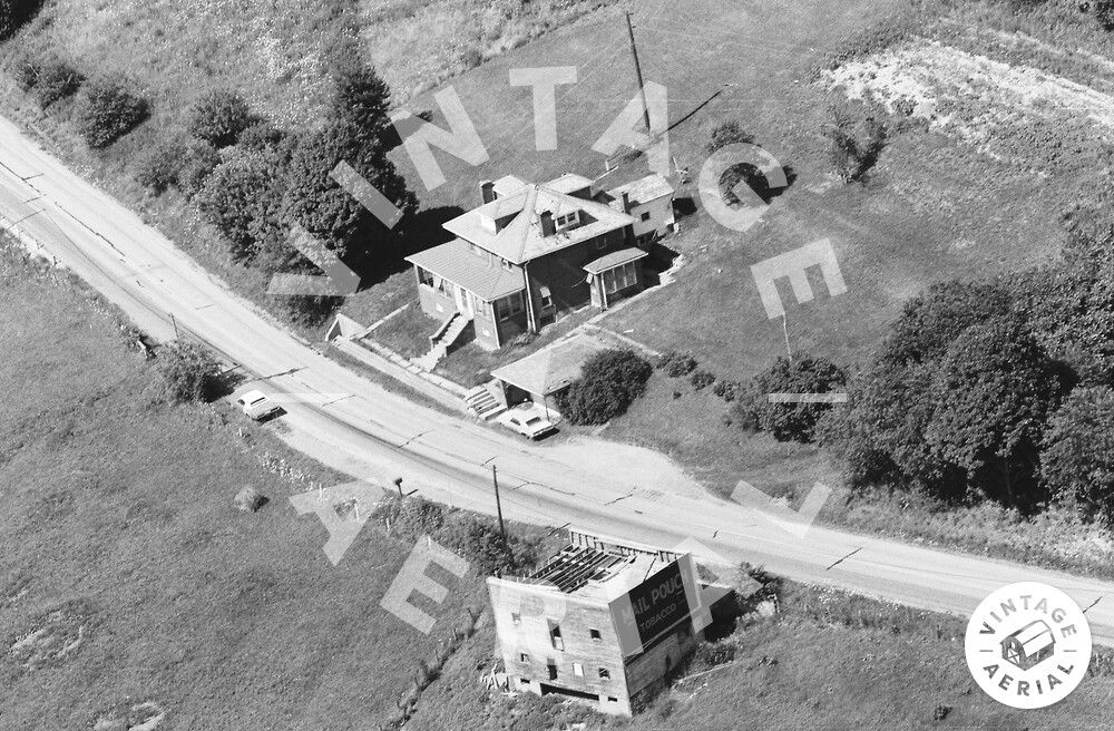
i think this is on rt 19 between Kirby and Mt Pleasant Church
This house is on rt 21. U can't miss it my uncle lives up the road from it.
The red pin on the map is the approximate location of where the house in the photo above once stood. The house and the barn have been razed and removed. This location was confirmed using Aerial Maps from Penn Pilot dated 1939, 1958 and 1967. Enter the following into the search box in Google Earth to see the approximate location of the house: 39.837072, -80.137373 The Mail Pouch barn in the photo above is ID'd as MPB 38-30-28 on the Mail Pouch Barnstormer's website.
My grandfather built the home. I spent a lot of time there as a kid.
Holly Johnson. If you happen to have any Photos of the Mail Pouch tobacco sign across the road from the house, we would love to upload them onto our website.