

Join Our Community
33,442 members are helping us to bring our collection to life.
Create a free Vintage Aerial account now to start commenting on photos, pinning locations, and earning points redeemable for our products!
Sign up now and receive a coupon for 10% off your first order!
Comments
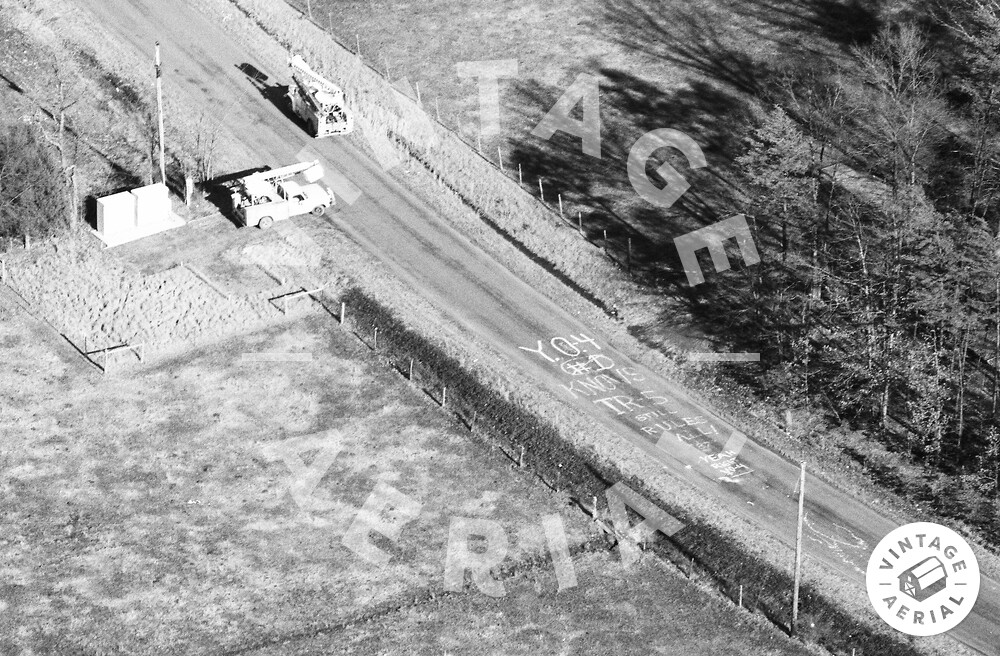
This image set is showing on the main map as being near Dale City, but clearly from the map showing on this individual image page, it's actually west of Manassas. Seems whoever put the block on the map slipped, and slipped big.