Photos
Products
Library Edition
Stories
Blog
About Us
Help
Sign Up
/
Sign In
Home
About Us
Photos
Products
Library Edition
Help
Blog
Stories
ROCKFORD87
6,482 lifetime points
Joined 2018
1
album
718
Comments
1
Likes
722
Geotags
Recent Activity
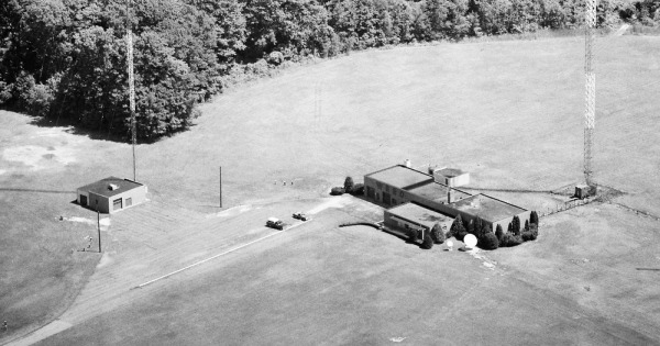
1983
Geauga County, OH
Commented, Liked, & Pinned
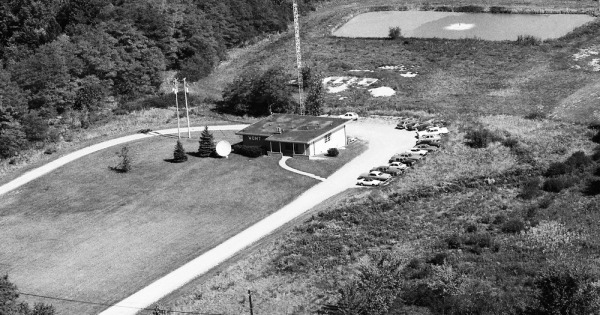
WDMT (FM) 107.9 MHz. Call letters changed to WPHR in 1987, and to the current WENZ in 1992. Coordinates: 41.46506969646446, -81.28695654931245 14781 Sperry Rd Newbury Township, OH 44065
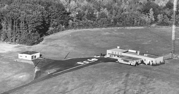
1965
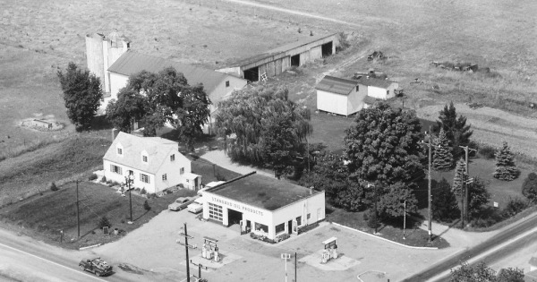
Ashtabula County, OH
Commented & Pinned
Coordinates: 41.60567365776069, -80.8654249431323 3212 US-6/Grand Army of the Republic Highway Rome, OH 44085
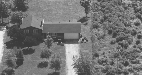
1989
Lake County, OH
Commented & Pinned
Coordinates: 41.7888214490633, -81.05340929581554 6560 Middle Ridge Rd Madison, OH 44057
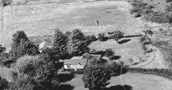
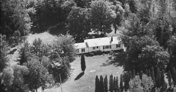
1970
Lake County, OH
Commented & Pinned
Coordinates: 41.83299689380602, -81.01352222285755 1490 Dock Rd Madison, OH 44057
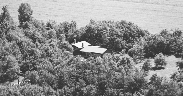
1999
Lake County, OH
Commented & Pinned
Coordinates: 41.72214456479675, -81.12290600632895 14288 Ford Rd Madison, OH 44057
1982
Ashtabula County, OH
Pinned Location
1968
Ashtabula County, OH
Commented & Pinned
Coordinates: 41.81568377723604, -80.77960705236383 3226 Jefferson Rd Ashtabula, OH 44004
1981
Lake County, OH
Commented & Pinned
Coordinates: 41.644431067887815, -81.16733213096677 8289 Callow Rd Painesville, OH 44077
1981
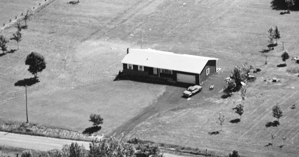
Lake County, OH
Commented & Pinned
Coordinates: 41.64329180257788, -81.16801840784333 8299 Callow Rd Painesville, OH 44077
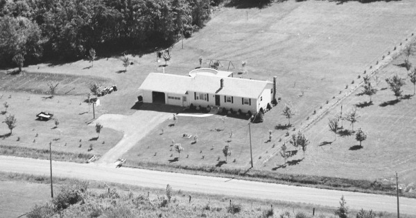
1981
Lake County, OH
Commented & Pinned
Coordinates: 41.64254473186168, -81.16792604077092 8325 Callow Rd Painesville, OH 44077