Summer Flash Sale!
☀️ 20% Off Photographic Prints 12x18 or Larger: Ends Friday!
Photos
Products
Library Edition
Stories
Blog
About Us
Help
Sign Up
/
Sign In
Home
About Us
Photos
Products
Library Edition
Help
Blog
Stories
zarbyflamingo
1,153 lifetime points
Joined 2019
0
albums
137
Comments
3
Likes
117
Geotags
Recent Activity
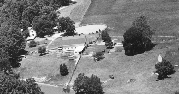
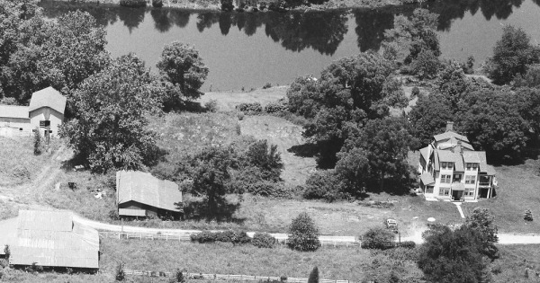
1990
King William County, VA
Commented & Pinned
37.625274, -76.944779 1700 W Rose Garden Road
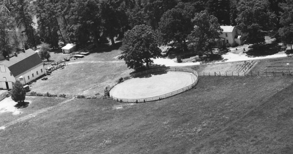
1990
King William County, VA
Commented & Pinned
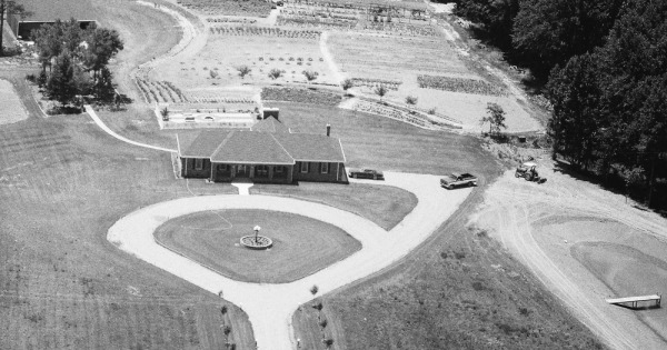
37.625831, -76.944994 1700 W Rose Garden Road Round pen.
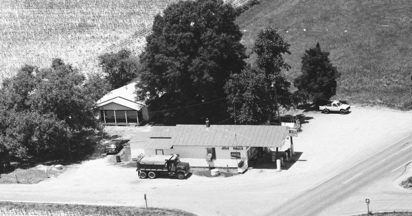
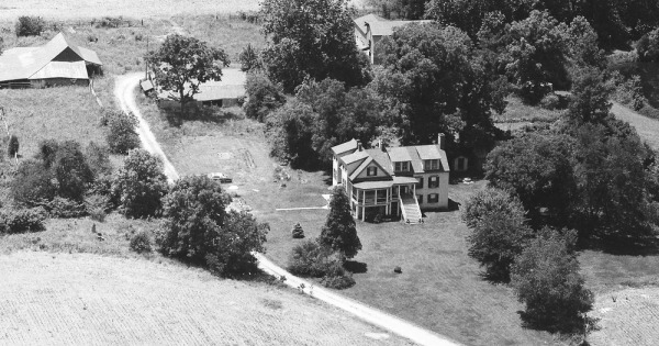
1990
King William County, VA
Commented & Pinned
37.632909, -76.934486 24194 King William Road Hall's Crossroads
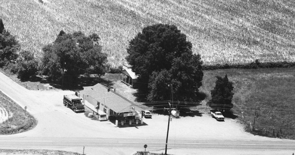
1990
King William County, VA
Commented & Pinned
37.632909, -76.934486 24194 King William Road Hall's Crossroads
1990
King William County, VA
Commented & Pinned
37.690835, -77.100472 3222 Acquinton Church Road Adjacent to Brooklyn Airport 0VI1 (grass landing strip).
1990
King William County, VA
Commented & Pinned
37.690835, -77.100472 3222 Acquinton Church Road Adjacent to Brooklyn Airport 0VI1 (grass landing strip).
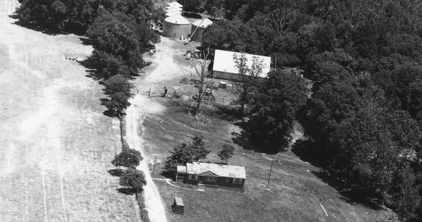
1990
King William County, VA
Commented & Pinned
37.685093, -77.068978 4963 Acquinton Church Road
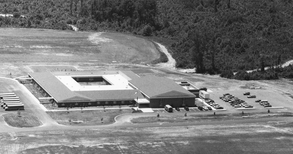
1990
King William County, VA
Commented & Pinned
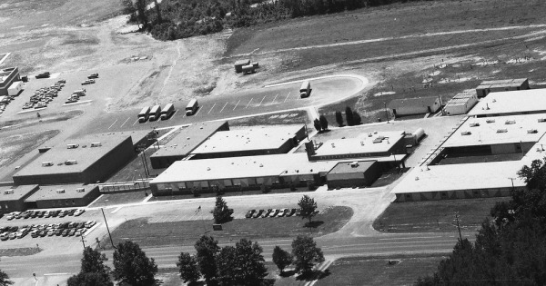
37.693548, -77.034927 7301 Acquinton Church Road Acquinton Elementary School
1990
King William County, VA
Commented & Pinned
37.695389, -77.035560 18444 King William Road Hamilton Holmes Middle School
1990
King William County, VA
Commented & Pinned
37.696825, -77.039553 18238 King William Road