

Join Our Community
33,448 members are helping us to bring our collection to life.
Create a free Vintage Aerial account now to start commenting on photos, pinning locations, and earning points redeemable for our products!
Sign up now and receive a coupon for 10% off your first order!
Comments
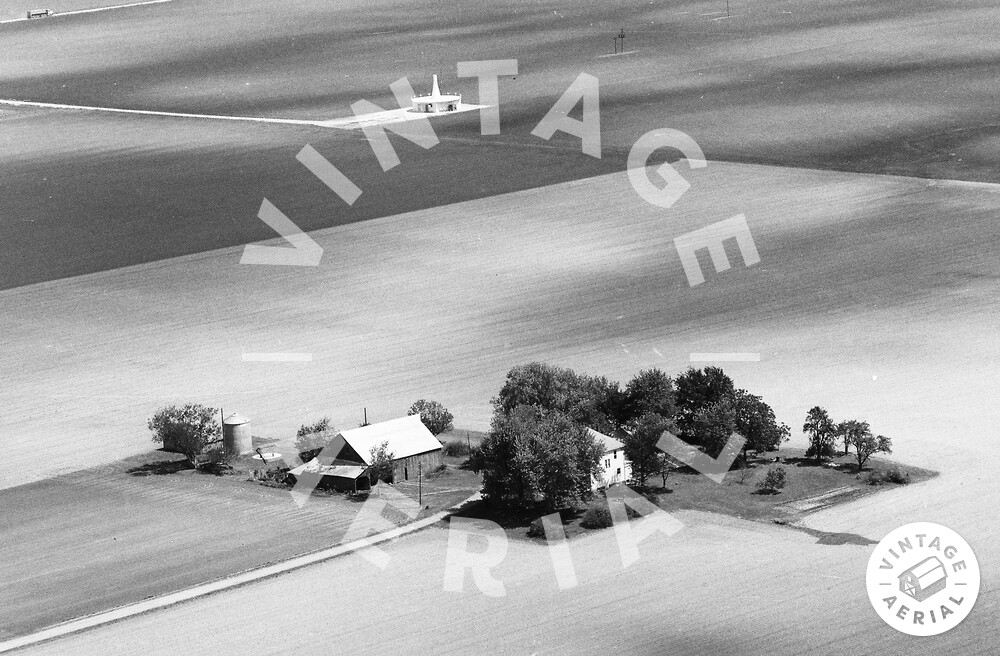
Pin location corrected. View looks SE. House and outbuildings were demolished sometime between the spring and fall of 2003. Construction of the present subdivision began to take shape in spring of 2004. In the background, note the Federal Aviation Administration (FAA) navigation aid. This appears to be a Very High Frequency (VHF) Omni-directional Range/Tactical Air Navigation (VORTAC) facility.