2019

Nebraska: Cornhusker State

Posted on 10/23/2019 by Nathan Lewis in New Content Releases

“Equality before the law” is the official state motto

Today, we are excited to announce that over 100,000 photos are now available to search and view online. The Origin of Nebraska’s Name comes from an Oto Indian word meaning flat water. This seems odd as Nebraska was once called “The Great American Desert.” in 1872 Arbor Day was found by J. Sterling Morton. Since then millions of trees have planted for windbreaks, woodlots, and orchards. For myself when I think of Nebraska, solid college football comes to mind. The University of Nebraska has been to a record 27 consecutive bowl games and 27 consecutive winning seasons. In 1899 Cy Sherman referred to the team as the Cornhuskers, which was officially adopted one year later. in 1945 The state changed its official nickname form “Tree Planter’s State” to the “Cornhusker State.”

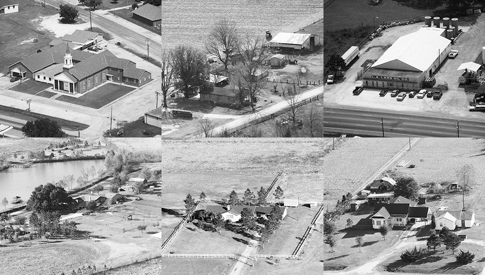
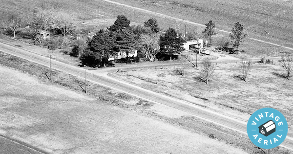
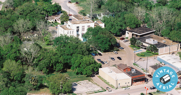
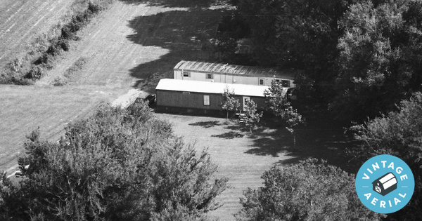
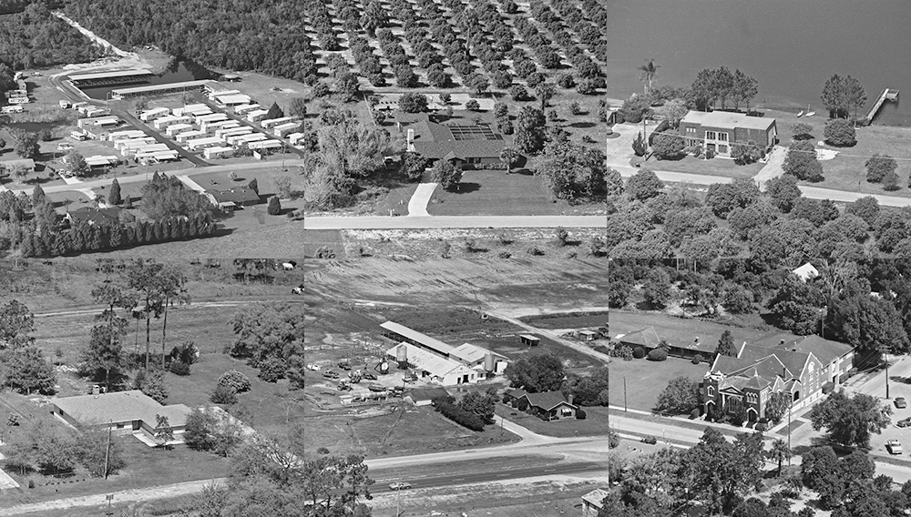
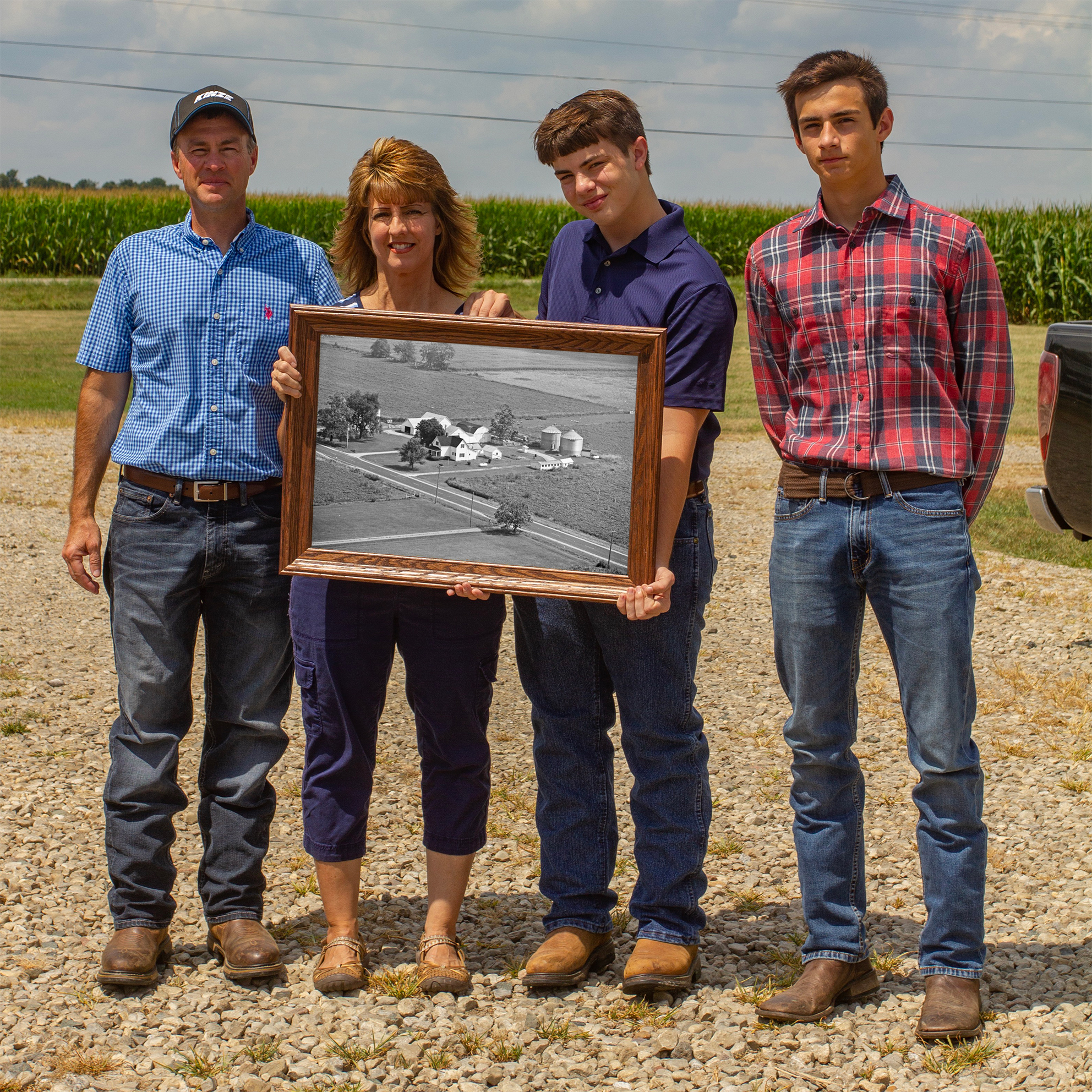
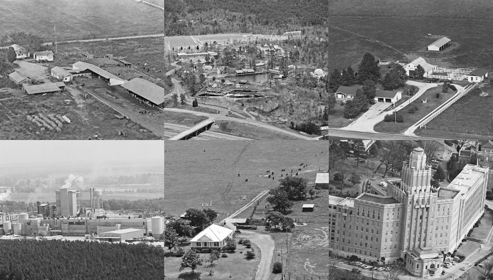
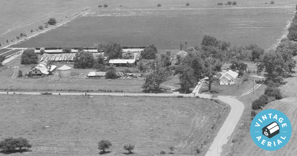
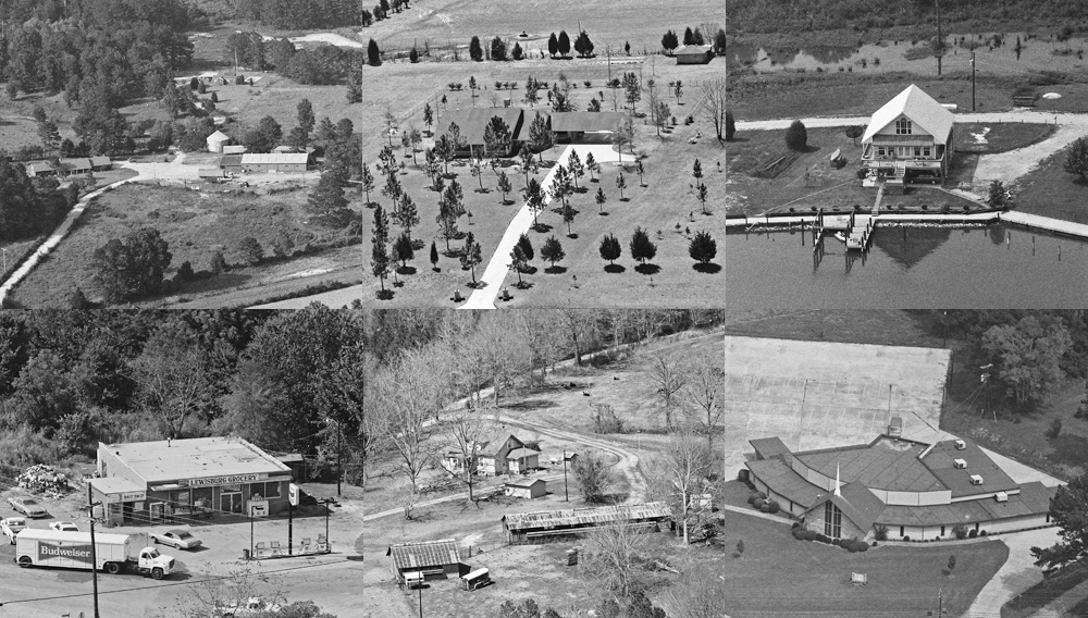
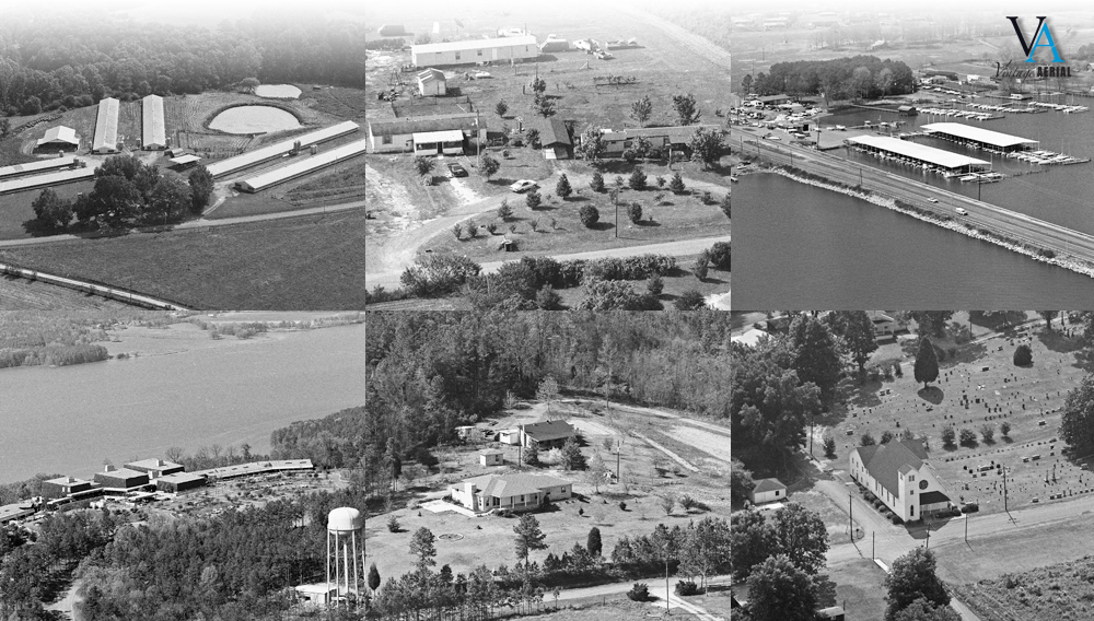
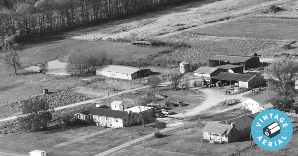
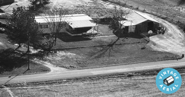
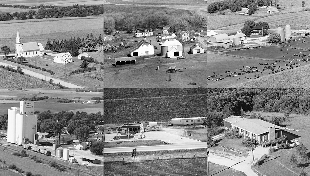
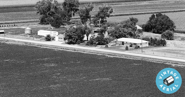
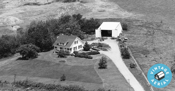
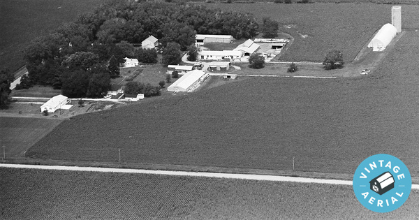
The term “cornhusker” comes from the method of harvesting or “husking” corn by hand, which was common in Nebraska before the invention of husking machinery. Nebraska is an agricultural juggernaut with close to 50,000 farms generating 25 billion dollars. Nearly nine million acres are planted to corn and produced nearly 1.5 billion bushels. Five million acres were planted to soybeans and produced nearly 268 million bushels. Nebraska’s dairy cows produce over one billion pounds of milk a year. Nebraska’s slaughter plants process nearly 6.8 million cattle and nearly 7.7 million hogs. Of the many farms involved in the agricultural business 86% are family owned and operated. Our collection of aerial photos focuses on these rural farming properties and we hope you find something meaningful within them. Here are a few of our visitors who did.

“My husband’s dad and his 11 siblings grew up on this farm in the 1940s and 50s. The original farmhouse was demolished and the home you see was built in the 50s. I’m gifting this to him on Christmas morning, I hope it will bring him joy every time he looks at it.”


“My mom grew up here, I spent a few summers in this house, it was my favorite place to be!”


“This is my family’s farm. There were four houses, my grandparents lived in one, my parents and our family in the second and my dad’s 2 brothers and their families in the other two.It was a dairy farm where we pasteurized and bottled our own milk. They also had farmland that grew corn, beans and milo. My dad is the only one still living on the farm. It was a wonderful place to grow up!”


Nebraska Agricultural Data

  • Number of counties: 93
  • Population: 1,826,341
  • Farms: 47,200 (86% Family Owned)
  • Female Farmers: 6,977
  • Average Farm Size: 966 acres
  • Total Farm Land: 45.6 million acres
  • Agriculture Receipts: 25 Billion


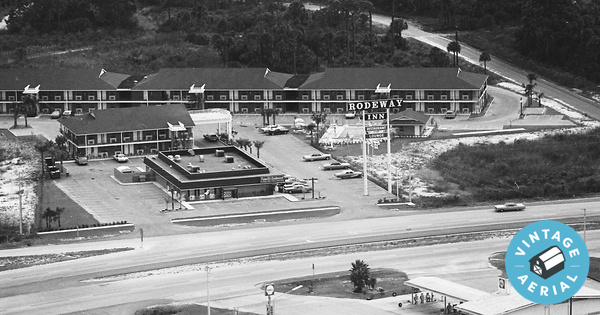
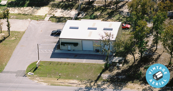
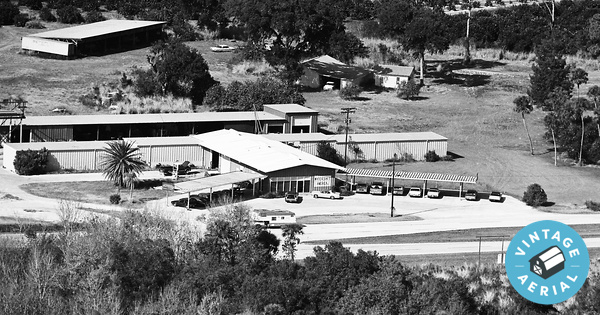
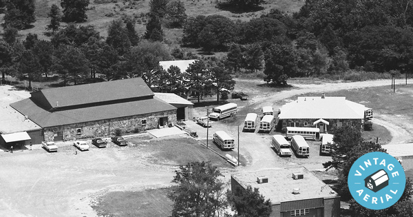
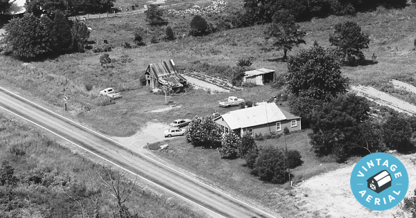
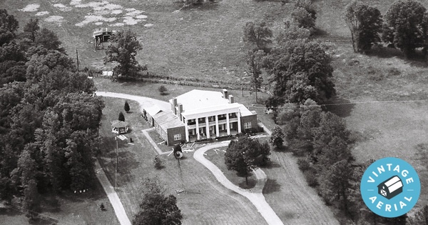
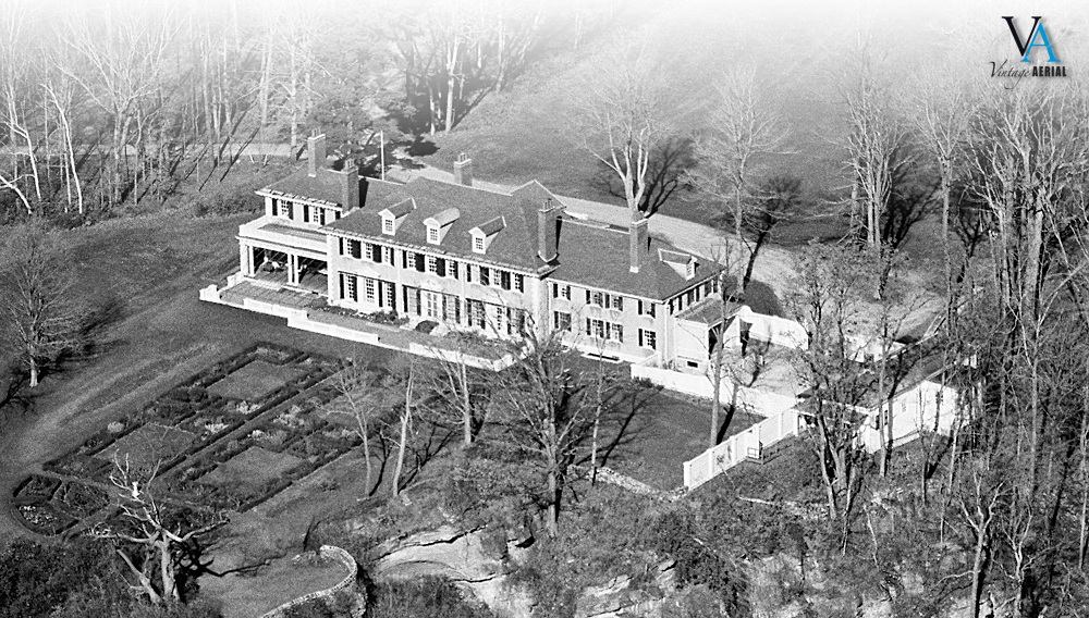
We invite you to come and take a look at these homes and farms in our collection of over 100,000 aerial photos of this great region. Home is the place where you became you. Find your way back!

Louisiana: The Pelican State

Posted on 09/30/2019 by Nathan Lewis in New Content Releases

“Justice, Union and Confidence” is the official state motto

Today, we are excited to announce that nearly 115,000 photos are now available to search and view online. Louisiana was named in honor of King Louis XIV. With its humid, subtropical climate Louisiana is home to 41% of the nation’s wetlands and has 5,000 miles of navigable waterways. You have probably heard of these referred to as a bayou, the French name for slow-moving “river.” The world-famous “Mardi Gras” is celebrated in New Orleans. Mardi Gras is an ancient custom that originated in southern Europe. It celebrates food and fun just before the 40 days of Lent. I have attended this wild event and it is quite the party with live music around every corner. The streets are filled with thousands of people and you can eat some of the best cajun seafood dishes in the world. Louisiana is the only state with a large population of Cajuns, descendants of the Acadians who were driven out of Canada in the 1700s because they wouldn’t pledge allegiance to the King of England. Like most southern states Louisiana has an old history. The first American army to have African American officers was the confederate Louisiana Native Guards. Between 1862, and 1864, 20 major Civil War battles and engagements were fought on Louisiana soil.

Because many of our photos focus on rural farming I always like to give some data on the agriculture industry. Louisiana ranks #1 in the nation in the production of crawfish, shrimp, alligators, menhadden, and oysters. The commercial fishing industry produces 25% of all seafood in the U.S. Forestry is the #1 agriculture industry in Louisiana with its 13.9 million acres of forests. Other top crops are rice, corn, sugarcane, soybeans, and cattle and calves. I think my favorite tidbit is, Louisiana is the sole source of the Tabasco pepper, a popular condiment known around the world. Finally, Louisiana is the 3rd largest producer of petroleum and the 2nd largest producer of natural gas in the U.S.

“This is my father’s farm”


“The tall, white building in the middle of the photo is the Cameron Parish Courthouse. This photo was taken prior to Hurricane Rita which destroyed many of the surrounding buildings.”


“This is my grandparents old house. It is where I currently live now, with very many changes over the years. This was taken the same year I was born. My mom and dad was also married in this front yard that same year.”


Louisiana Agricultural Data

  • Number of Parishes (counties): 64 (Vintage Aerial has photos in 45)
  • Population: 4,410,796
  • Farms: 28,093 (88% Family Owned)
  • Female Farmers: 3,914
  • Average Farm Size: 269 acres
  • Total Farm Land: 8.1 million acres
  • Agriculture Receipts: 3.8 Billion


We invite you to come and take a look at these homes and farms in our collection of nearly 115,000 aerial photos of this great region. Home is the place where you became you. Find your way back!

Florida: The Sunshine State

Posted on 09/06/2019 by Nathan Lewis in New Content Releases

“In God We Trust” is the official state motto

Today, we are excited to announce that over 201,000 photos are now available to search and view online. Florida is well known as the ‘Sunshine State" with its 241 days of sunlight this is not just a clever name. I lived in Florida for a good part of my life and I know that with this sunshine also comes heat. I can remember sweltering in the sun doing yard work with my dad on the weekends. The sun and heat have influenced Floridas history, in 1851 Dr. John Gorrie invented mechanical refrigeration. In 1965 per Dwayne Douglas’s request the university of Floridas college of medicine came up with a drink to help keep his player hydrated. This new drink was named after the football teams mascot, cleverly dubbed Gatorade. The first suntan cream was invented in 1944 by Benjamin Green in Miami Beach.

All this sun may be a problem at times for us humans but it is perfect for great farming. Florida is ranked first in the U.S. in production of cucumbers, grapefruit, oranges, squash, sugarcane, fresh market snap beans, and fresh market tomatoes. In 2017, Florida ranked second in the nation in the production of greenhouse, nursery and miscellaneous products with cash receipts totaling over $2.088 billion. Florida accounted for 45 percent of the total U.S. citrus production with 78.1 million boxes of citrus in the 2016-2017 season. Generations of families have called these farms home. We hope we have preserved these memories with the photos in our collection and invite you to re-discover your history.

“Rodeway Inn”


“So proud to have found my Uncle Ron and Aunt Lettie’s shop “Riley’s Auto Electric” in Homosassa, FL serving Citrus County for decades with excellent service!"


“Watercraft America”


Florida Agricultural Data

  • Number of Counties: 67 (Vintage Aerial has photos in 50)
  • Population: 18,537,969
  • Farms: 47,500 (81% Family Owned)
  • Female Farmers: 10,880
  • Average Farm Size: 195 acres
  • Total Farm Land: 9.2 million acres
  • Agriculture Receipts: 7.4 Billion


We invite you to come and take a look at these homes and farms in our collection of over 201,000 aerial photos of this great region. Home is the place where you became you. Find your way back!

Share Your Vintage Aerial Photo Contest!

Posted on 08/30/2019 by Lance Roper in Just for Fun

Example photo for contest submission

Over the past 10 years, we’ve helped thousands of you reconnect with a piece of your personal history. We’re inviting you to share a photo of your Vintage Aerial print in a fun and easy contest where you have a shot at winning a $250 Amazon Gift Card!

Evolving the Vintage Aerial Brand

Posted on 07/18/2019 by Lance Roper in Company Updates

In the early days of Vintage Aerial, we were eager to begin unveiling our collection to the world. Constrained by limited resources, our founding members used their knack for agile development to build a website that accomplished our most basic objective – to display online photographs that had been trapped in analog rolls of film for nearly 50 years.

We’ve spent the ten years of our existence converting analog film to digital images, and creating architecture that catalogs a vast and complicated collection while making it easily accessible to all. We have done that, and so much more, in furtherance of our mission to collect and present aerial photos of rural America in a way that evokes personal, family, and community memories and that encourages the sharing of our common history.

2009
2011
2018

Arkansas: "The Natural State"

Posted on 06/24/2019 by Nathan Lewis in New Content Releases

“Regnat Populus” is the official state motto, it means “The People Rule.”

Today, we are excited to announce that over 267,000 photos are now available to search and view online.

The Name Arkansas comes from the Sioux acansa which means “downstream people.” Arkansas became the 25th state in 1836. Since the 1830s the area now known as Hot Springs National Park has bathed notables as diverse as Franklin D. Roosevelt, Babe Ruth, and Al Capone. The now household name Wal-Mart was founded by Sam Walton in Bentonville. Arkansas has 33.3 million acres of land, forests cover more than 56 percent of Arkansas’ landscape. The Buffalo River is one of the few remaining unpolluted, free-flowing rivers in the lower 48 states. Agriculture is Arkansas’ largest industry, adding around $16 billion to the state’s economy annually. The Natural State’s diverse landscape and climate produce a wide variety of Arkansas agricultural products. Arkansas is a major exporter of rice, soybeans, cotton, poultry and feed grains. A whopping 97 percent of these farms are still family owned. Generations of families have called these farms home. We hope we have preserved these memories with the photos in our collection and invite you to re-discover your history.

“This is my Grandpa Garrett’s farm”


“I went to this school for 10 years, and graduated in 1966. The main buildings are now gone, replaced with new and beautiful buildings”


“This is where my dad grew up. A lot has changed since this pic was taken”


Arkansas Agricultural Data

  • Number of Counties: 75 (Vintage Aerial has photos in 60)
  • Population: 2,889,450
  • Farms: 49,000 (97% Family Owned)
  • Female Farmers: 20,000
  • Average Farm Size: 281 acres
  • Total Farm Land: 13.8 million acres
  • Agriculture Receipts: 16 Billion


We invite you to come and take a look at these homes and farms in our collection of over 267,000 aerial photos of this great region. Home is the place where you became you. Find your way back!

Mississippi “Big River”

Posted on 04/19/2019 by Nathan Lewis in New Content Releases

Virtute et armis is the official state motto, it means “By valor and arms.”

Today, we are excited to announce that over 60,000 aerial photos of Mississippi are now available to search and view online.

The state is named after the Mississippi River. The native word for the river was messipi, which means “Big River.” Like many other southern states, Mississippi has a long history it was the 20th state to join the union in 1817. In 1898 a man named Edward Barq invented root beer in Biloxi. His company Barq’s is now owned by Coca-Cola. “The King” Elvis Presley was born in Tupelo in 1935. There are many other famous names that came from Mississippi such as Walter Payton, the first football player to appear on Wheaties box, and the legendary puppeteer Jim Henson. The people who really make Mississippi are the people who live and work there, those who have farmed the land and for generations made it their home. We have many of these memories captured in our collection. Here are just a few and we invite you to come and create your own!

“My grandfather owned this property growing up we hauled milk. Now it’s all subdivided. J & A enterprise”


“I Grew up in these woods at same time these photos where taken on!”


Mississippi Agricultural Data

  • Number of Counties: 82 (Vintage Aerial has photos in only 29)
  • Population: 2,938,618
  • Farms: 42,000
  • Farmers: 38,076
  • Female Farmers: 5,282
  • Average Farm Size: 273 acres
  • Total Farm Land: 11.4 million acres
  • Agriculture Receipts: 7.4 Billion


We invite you to come and take a look at these homes and farms in our collection of over 60,000 aerial photos of this great region. Home is the place where you became you. Find your way back!

Alabama "Audemus jura nostra defendere"

Posted on 04/04/2019 by Nathan Lewis in New Content Releases

“Audemus jura nostra defendere” is the official state motto, it means “we dare defend our rights.”

Today, we are excited to announce that over 316,000 aerial photos of Alabama are now available to search and view online.

The name “Alabama” comes from a combination of two Choctaw words: “Alba,” meaning plants and “Amo,” meaning picker. This name rings true as Alabama is one of the leading producers of cotton and produces 5.6 billion with its agriculture industry. While Alabama has many nicknames such as the “Heart of Dixie” or the “cotton state,” none of them have been made official. Like many of the southern states, Alabama has a rich history from the first Confederate flag flown in 1861 to Rosa Parks’ refusal to move from her seat on a Montgomery bus which helped spark a prominent civil rights movement. Throughout this history, there have been many prominent people to hail from Alabama. In 1880 Hellen Keller was born in Tuscumbia, an American author, political activist, and lecturer. Nat King Cole was born in Montgomery in 1919 known as the man with the velvet voice. In 1934 Hank Aaron was born in mobile and went on to beat Babe Ruth’s home run record in 1974 with 715 home runs. People are the reason we at VA do what we do, famous or not the people who live in a community are what shape the landscape and culture. Aerial photos are a great way to get a glimpse of what it was like and who the people were that shaped our world. Here are just a few people who have found some meaningful history in our collection:

“This is my great Grandaddy’s home. A lot has changed over the years. A few years after this photo, my granddaddy started Sonny’s BBQ after retiring from farming. In 2011, both homes and business were destroyed by an EF-4 tornado. Homes were rebuilt”


I grew up here with my two brothers and parents. Of course, the trailer, shop, and fence are gone. The only thing remaining is the concrete base of my dad’s shop, which now serves as the basketball court for their grandkids.


This is the home of Gerald & Francis Willis, in the Nances Creek community.


Alabama Agricultural Data

  • Number of Counties: 67 (Vintage Aerial has photos in 50!)
  • Population: 4,903,151
  • Farms: 48,500
  • Farmers: 19,114
  • Female Farmers: 6,374
  • Average Farm Size: 186 Acres
  • Total Farm Land: 9 Million Acres
  • Agriculture Receipts: $5.6 Billion


We invite you to come and take a look at these homes and farms in our collection of nearly 330,000 aerial photos of this great region. Home is the place where you became you. Find your way back!

South Carolina “Dum Spiro, Spero”

Posted on 02/18/2019 by Nathan Lewis in New Content Releases

There are more peaches produced in South Carolina than in Georgia. In the town of Gaffney, this water tower shaped like a giant peach was built in the 1980s to honor the region’s peach farmers.

Today, we are excited to announce that nearly 200,000 aerial photos of South Carolina are now available to search and view online. The state motto is the Latin phrase “Dum spiro, spero,” which translates to “While I breathe, I hope.” Before being known as the Palmetto State, South Carolina was known as, and had emblazoned on their license plates, the Iodine State. This motto was an effort by the South Carolina Natural Resources Commission to publicize the high levels of iodine found in the state’s fruits and vegetables. South Carolina is very often clumped together with its neighbor to the north but South Carolina boasts its own unique history, cultures, and way of life. Stretching 60 miles from Little River to Georgetown, South Carolina’s Grand Strand is one of the most popular tourist destinations in the United States.

South Carolina entered the Union on May 23, 1788 and became the 8th state. On April 12, 1861, the Civil War began at Fort Sumter in South Carolina when Confederate soldiers opened fire on the Union soldiers guarding the sea fort. David Robert Coker conducted his early crop-improvement experiments on the family plantation in Hartsville. Beginning with 30 experimental cotton selections and methodically applying the latest techniques in the scientific breeding of crops, the work of Coker Experimental Farms played a great role in the agricultural revolution in the South. The introduction of tobacco in 1894 rocketed Mullins into the Tobacco Capital of South Carolina. As many as 200 tobacco barns sprang up throughout the community and the first tobacco sale took place on August 28, 1895.

South Carolina has a long history in agriculture and it is still the prominent industry in the state today. The Lake City tobacco market was established in 1898, and has grown to become one of the two largest markets in South Carolina today. South Carolina is the nation’s leading peach producer east of the Mississippi River. Broilers are the most produced agricultural commodity by value. Fresh market fruits and vegetable produced include cucumbers, snap beans and tomatoes, melons, potatoes, and sweet potatoes. South Carolina greenhouse and nursery products generate around $240 million per year. South Carolina is home to the only tea farm in North America, The Charleston Tea Plantation. There are over 26,000 farms averaging 189 acres. These farms cover 4.8 million acres of land. The total economic impact of South Carolina’s agriculture industry is over 40 billion dollars a year.

We invite you to come and take a look at these homes and farms in our collection of nearly 200,000 aerial photos of this great region. Home is the place where you became you. Find your way back!

New England: Yankee Country

Posted on 01/23/2019 by Nathan Lewis in New Content Releases

Hildene, The Lincoln Family Home, Historic home of Robert Lincoln, only child of President and Mary Todd Lincoln to survive to adulthood.

Today, we are excited to announce that more than 280,000 aerial photos of New England are now available to search and view online. The explorer John Smith gave New England its name. New England’s geography is very diverse. The region is bounded to the north by Canada, to the east by the Atlantic Ocean, to the south by Long Island Sound, and to the west by the state of New York. New England’s wildlife ranges from whales and dolphins to thousands of species of birds and wild moose.

New England’s history and culture has been shaped over hundreds of years by immigrants from Europe. The region was one of the earliest English settlements in the “New World” following the arrival of the Pilgrims, who set sail from England aboard the Mayflower in 1620 in search of religious freedom. By the late 18th century, the British colonies of New England were some of the first to demonstrate for independence from the British Crown; one of the most notable demonstrations was the Boston Tea Party of 1773. The American Revolutionary war broke out shortly after in 1775 and the Declaration of Independence was signed and adopted by the Continental Congress on July 4, 1776.

New England has close to 15 million people, the three southern states of Connecticut, Rhode Island and Massachusetts are more densely populated than the northern states, with the most populated urban areas being situated along the eastern coastline. The people of New England are known for their warm hospitality, friendly manner and down-to-earth approach to life. New Englanders love their food and take full advantage of the regional produce. There’s nothing like apple cider during the fall, pancakes with real maple syrup, a clambake on the beach or some Yankee pot roast on a cold night. Then there are the clams, the vital ingredient for New England’s very own clam chowder. There are also a number of microbreweries, distilleries and vineyards to be explored throughout the region.

Farming has been a part of New England’s landscape and history for centuries. Due to population growth, development and urban sprawl, the amount of land left producing food in New England is only 4 million acres, about 5%. Farming still has an enduring and important presence in the six-state region, from the dairy farms and maple sugarhouses of Vermont to the cranberry bogs of Massachusetts and blueberry fields of Maine. 30 percent of New England farmers are 65 and older and with the younger generation moving into larger cities the threat of the farming industry shrinking even further is very real. Farming currently produces 3 billion dollars per year.

We invite you to come and take a look at these homes and farms in our collection of more than 280,000 aerial photos of this great region. Home is the place where you became you. Find your way back!

To search select one of the New England States below: